




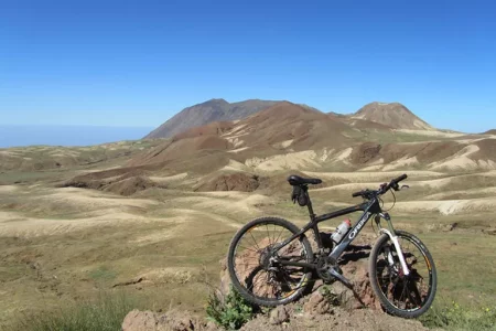









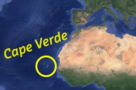








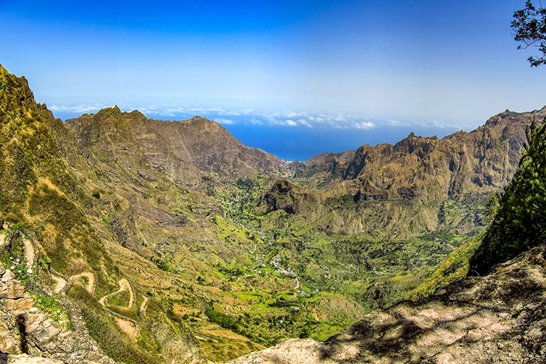


Cape Verde is a still largely undiscovered hiking paradise.
The five mountainous islands of Santo Antão, São Nicolau, Santiago, Fogo and Brava in particular are ideally suited to a walking holiday.
In the mountains of these islands there are old, often cobbled mule tracks along which all transport used to be handled, back when there were no roads. These connecting paths are still in everyday use today and are repaired and renewed again and again, and along them lie countless wonderful walking routes. Time after time you pass remote villages, and everywhere you are greeted warmly by the country’s welcoming people.
The year-round summer weather, with only a few days of rain and pleasant temperatures, makes walking a real pleasure.
There is a good choice of walking and trekking tours in the programme, as well as individual hiking tours for those who prefer to travel independently.
Hiking on Santo Antão

Santo Antão, with its great variety, is hiking island number one.
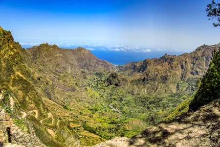
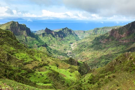
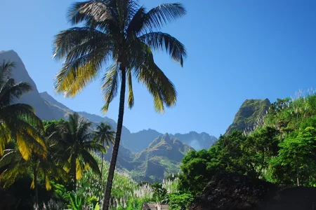
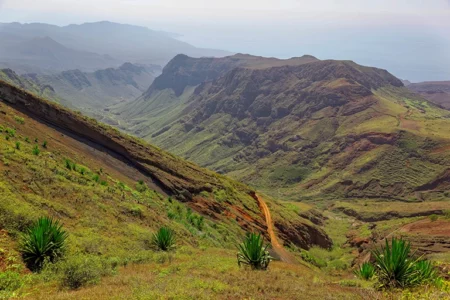
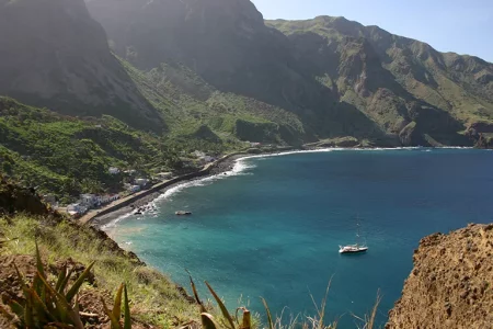
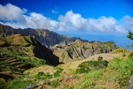
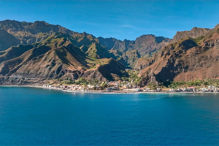
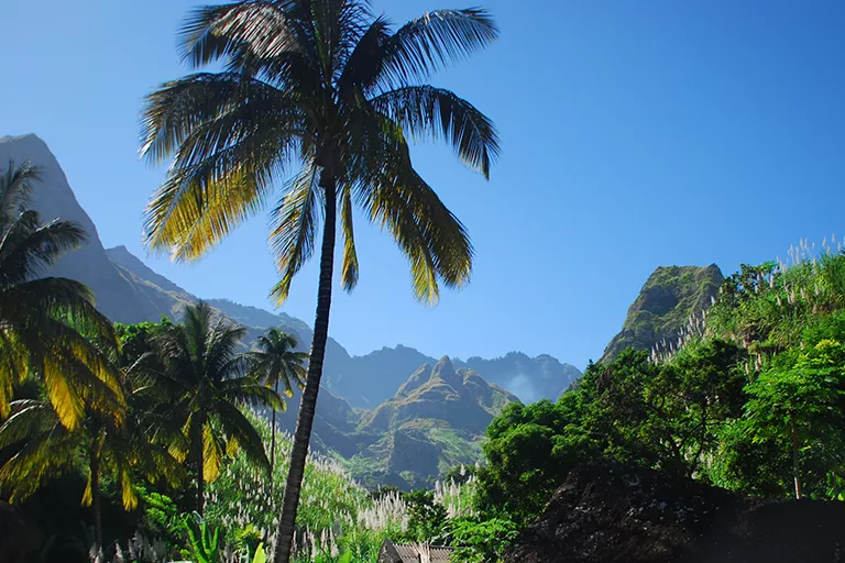
Spectacular, rugged mountain landscapes alternate with tropical green valleys and impressive steep coastlines. Whether you are out in the green Paúl Valley, taking on a high-level walk or following the cliffs from Cruzinha to Ponta do Sol (or the other way round) – each walk is lovelier than the last. There are fascinating routes in the south and west of the island too, where volcanic landscapes and remote deserts await the visitor.
Hiking Santo Antão tips

Two classic walks on Santo Antão
From Cova de Paúl down into the Paúl Valley
One classic you should not miss on Santo Antão is the walk from Cova de Paúl down into the Paúl Valley as far as Vila das Pombas on the coast – or you stay in accommodation in the Paúl Valley and use it as a base for further walks. Cova de Paúl, usually just called Cova, is an old volcanic crater, very fertile and farmed to this day. Plenty of exotic fruit is grown here, such as mangoes and avocados, but also sugar cane and maize. You cross the crater and then reach the crater rim, from where you get a spectacular view over the Paúl Valley – provided it is not cloudy. The path drops very steeply in hairpins at first and then continues more gently through the valley with its sugar cane plantations. Along the way there are several places to stop for a grogue, a picnic or lunch.
Distance: approx. 10 km
Duration: approx. 4-5 hours
From Ponta do Sol to Cruzinha
Another of the finest walking routes on Santo Antão starts in Ponta do Sol and follows the north coast to Cruzinha, or the other way round. The path runs along the coast and offers striking views – steeply down to the sea below the path on one side, and steeply up the rock faces above it on the other. Along the way you pass the village of Fontainhas, named a few years ago by National Geographic as one of the most beautiful villages in the world. You also come through the villages of Corvo and Formiguinhas. Corvo lies in the middle of a green valley, and Formiguinhas is a good place to break. Here you will find a café that was opened to supply walkers with good food and drink. Roughly halfway along, the route passes through the abandoned village of Aranhas, where the ruins can still be seen. The walk alternates constantly between uphill and downhill, which makes for a pleasant balance.
You can start the route either in Ponta do Sol or in Cruzinha. Starting from Cruzinha has the advantage that you arrive in Ponta do Sol, where it is easy to find an aluguer or a taxi to travel on to another place. There are also small supermarkets, restaurants, hotels and bars.
If you begin the walk in Ponta do Sol and finish in Cruzinha, transport is often harder to come by, so it is worth arranging a pick-up in advance – or staying overnight in Cruzinha.
Distance: approx. 15 km
Duration: approx. 5 hours
Hiking on Santiago
On the island of Santiago it is above all the two mountain ranges that invite you to walk. The one further south centres on Rui Vaz and Pico da Antónia, the highest mountain on the island. In this area you get a good impression of Cape Verdean agriculture, and if you like a challenge you can climb the two secondary peaks of Pico da Antónia: Monte Tchota (1,041 m) and Monte Gamboa (1,099 m). Further north lies the second range, called Serra Malagueta. A magnificent mountain backdrop, deep valleys and remote settlements shape the scene and make it an Eldorado for walkers.
Hiking Fogo tips
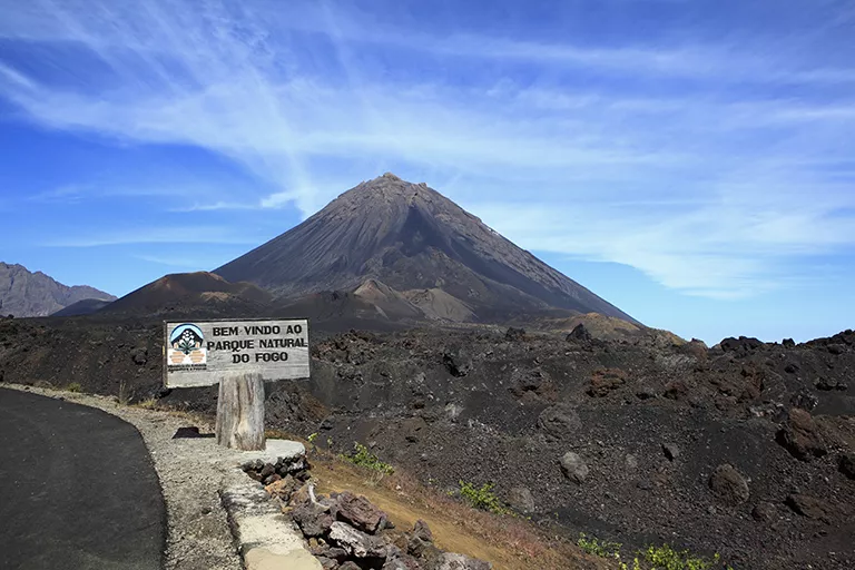

Hiking on Fogo

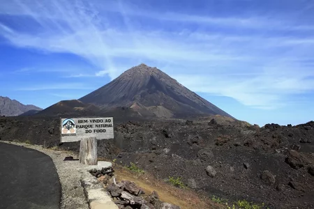
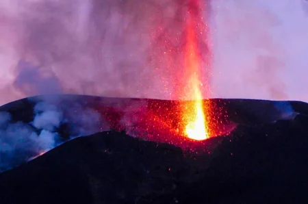
On Fogo, the climb up Pico do Fogo – at 2,829 m the highest mountain in Cape Verde – is a highlight. The route along the crater wall is a challenge too. Those who prefer less demanding walks are well served as well: you can explore the area with the lava flows from the crater’s various eruptions, and the small Pico. And in the north of the island, the largest continuous forest in Cape Verde, complete with coffee, banana and papaya plantations, is well worth a walk.
Hiking on São Nicolau
São Nicolau, the “little sister of Santo Antão”, offers similar landscapes – though the mountains are not quite as high and less rugged. This island is more unspoilt and still waiting to be discovered.
Hiking on Brava
Brava, the smallest inhabited island in Cape Verde and only rarely visited by travellers, also offers a number of walks. There are some lovely paths in the mountain landscapes of the island’s interior. The route to Fajã de Água is particularly worth recommending. It winds down in hairpins from the island’s main town of Nova Sintra to the Atlantic, past oases of palms and mango trees.
Hiking on the flat islands
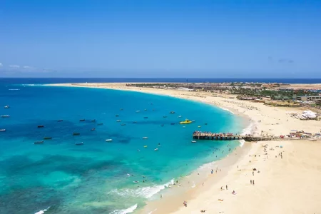
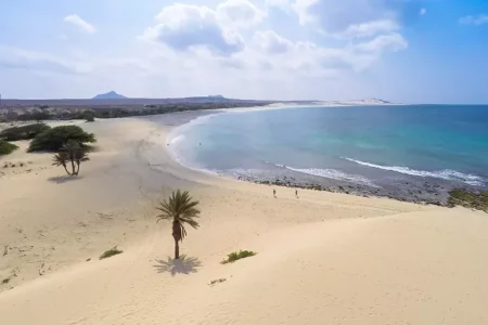
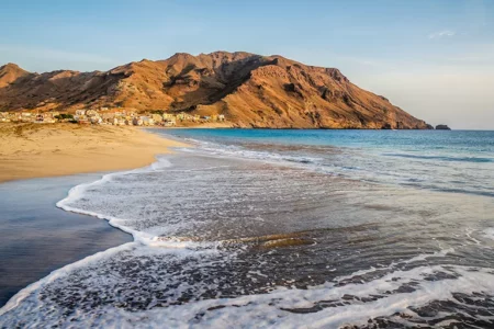
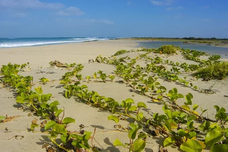
Some walks are possible on the flat islands of Sal, Boa Vista and Maio as well as on São Vicente. These cannot begin to compare with the ones just described, however. What these islands do offer are genuinely beautiful, long beach walks, and those come highly recommended.