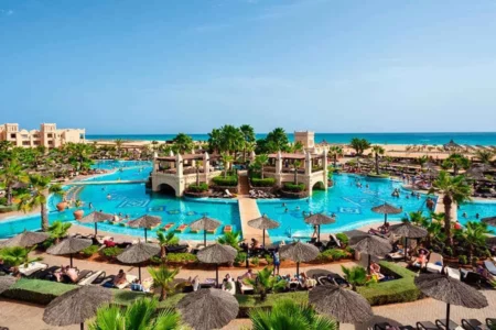

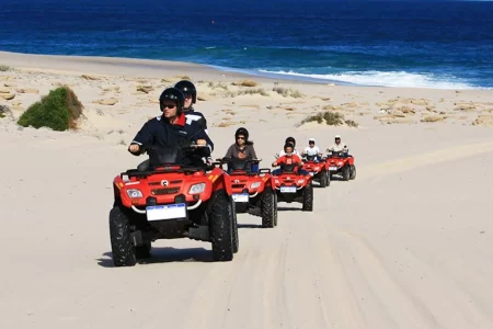







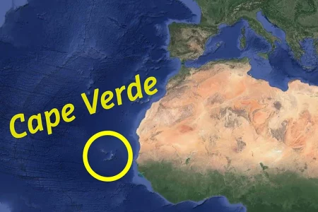











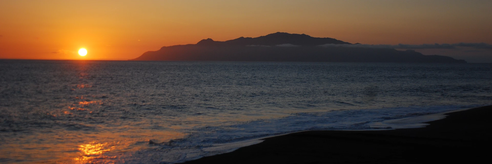
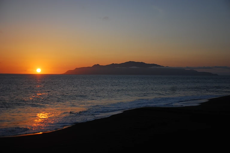
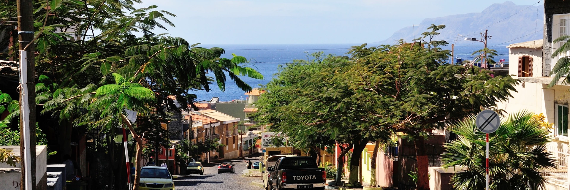
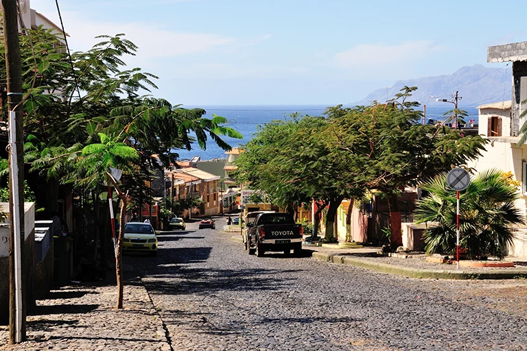

The Cape Verde Islands are located between 14 and 17° northern latitude and 22 and 25° western longitude in the middle of the Atlantic Ocean at the height of Senegal. The total area of the archipelago covers 4,033 square kilometres and includes ten larger islands, of which nine are inhabited, and five smaller uninhabited islands.
The islands are about 4500 kilometres away from England. They are arranged in a “U“ that opens towards the west, with Brava at its southernmost point. The farthest end of the island group in the north is Santo Antão. They extend a total of 300 kilometres from north to south and 250 kilometres from east to west. The predominating north-east passat wind on the archipelago divides Cape Verde into the group of islands that lies above the wind (Barlavento) with Santo Antão, São Vicente, São Nicolao, Boa Vista, Sal, Santa Luzia, Branco and Razo, and the islands lying below the wind (Sotavento) with Maio, Santiago, Fogo and Brava.
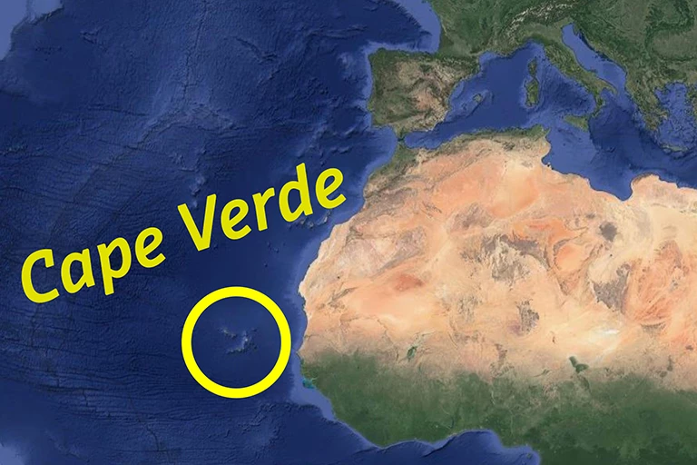
In terms of their geography, the islands belong to the Macaronesian group with Madeira, the Canary Islands and the Azores due to their similar vegetation. Macaronesia is translated as the “Islands of Bliss”.
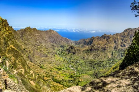
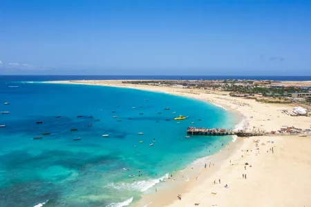
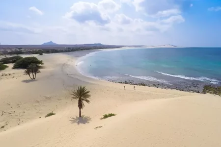
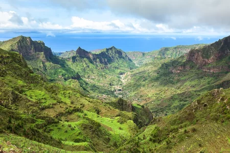
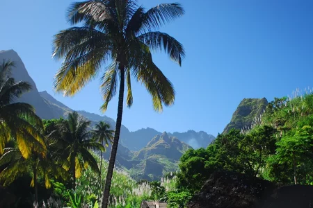
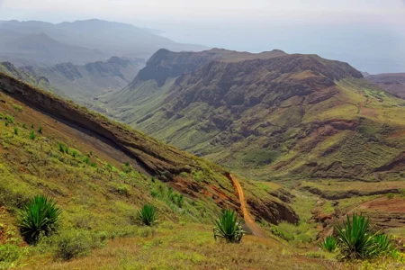
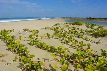
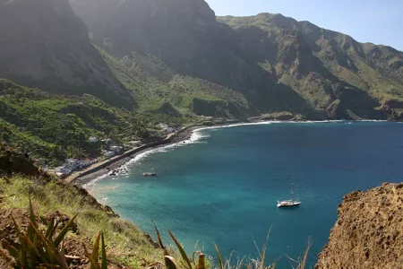
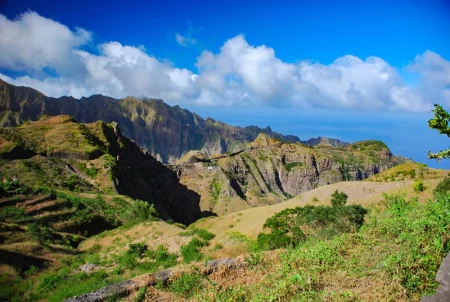
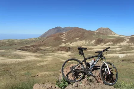
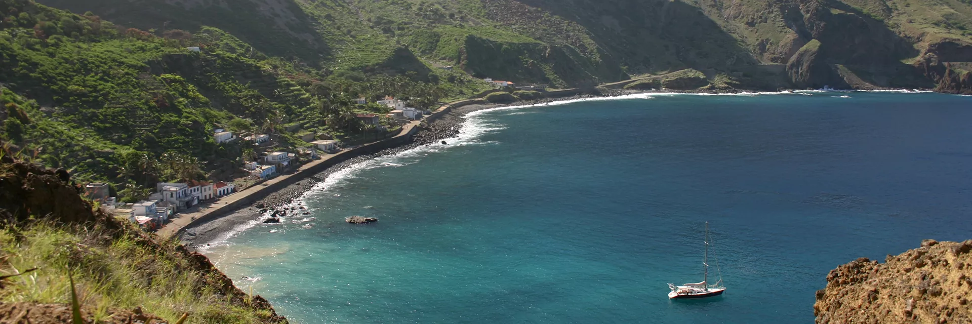
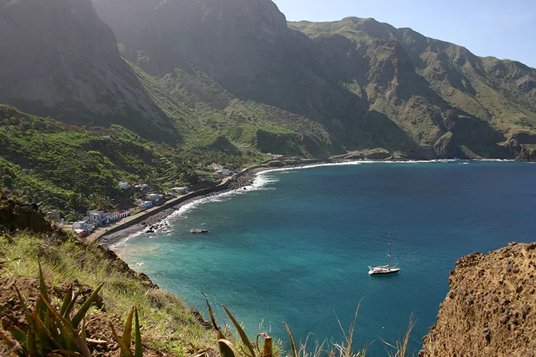
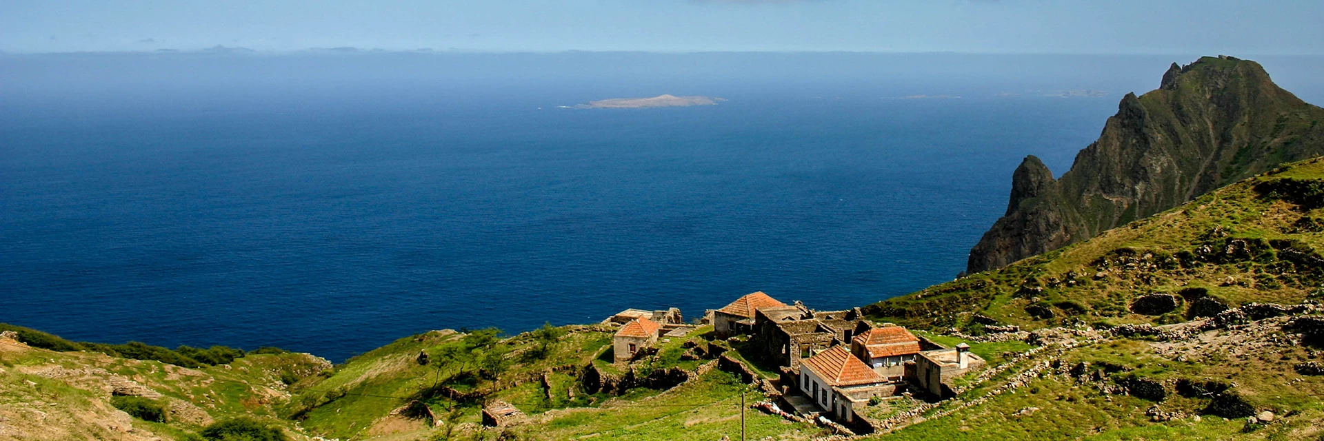
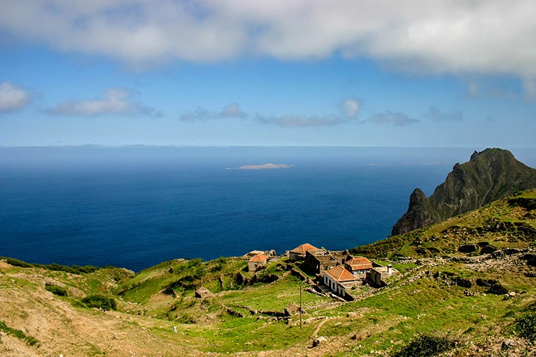
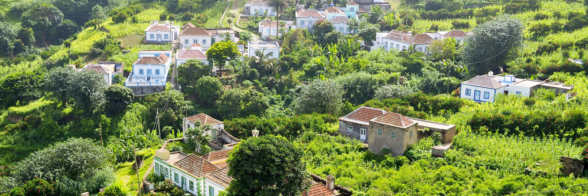
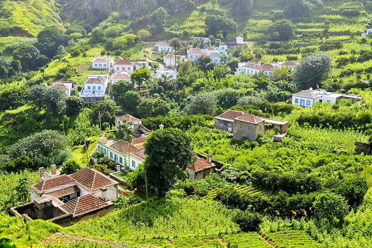
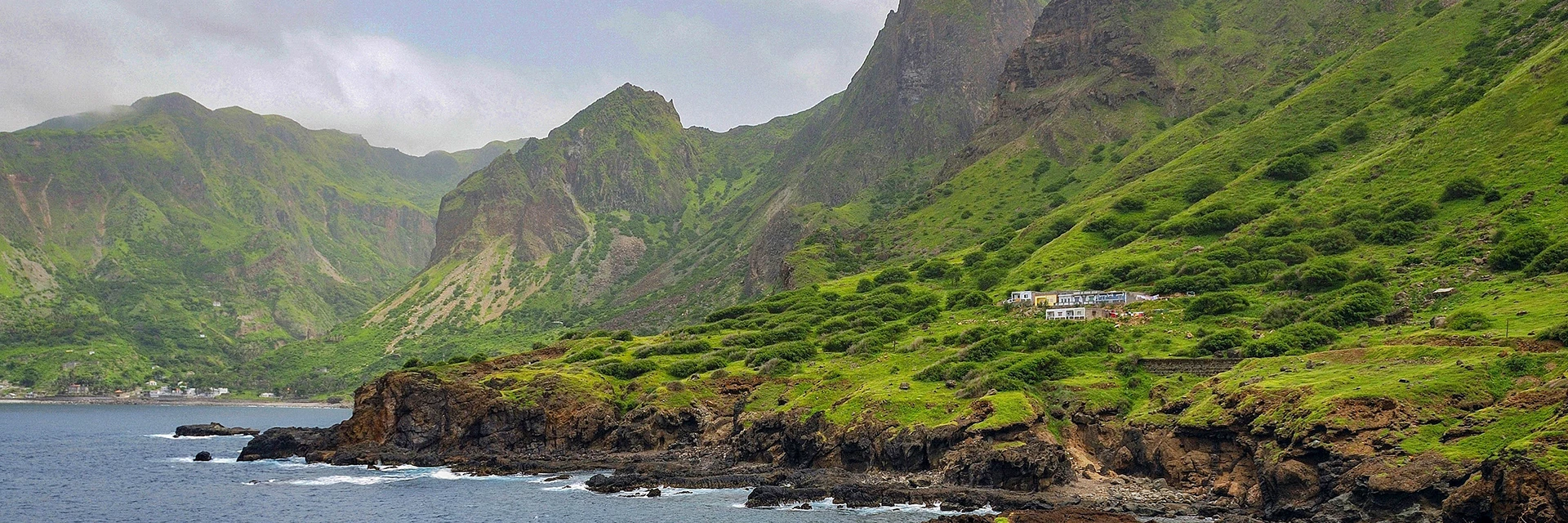
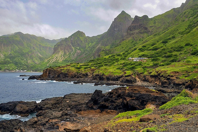
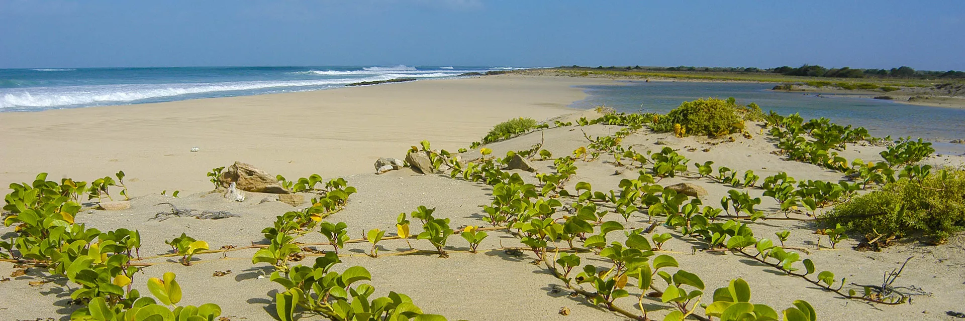
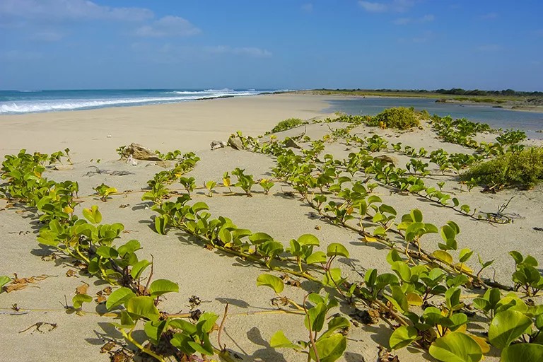
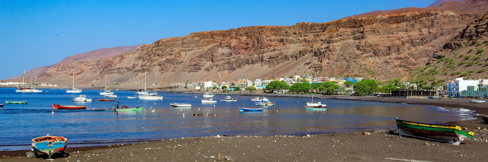
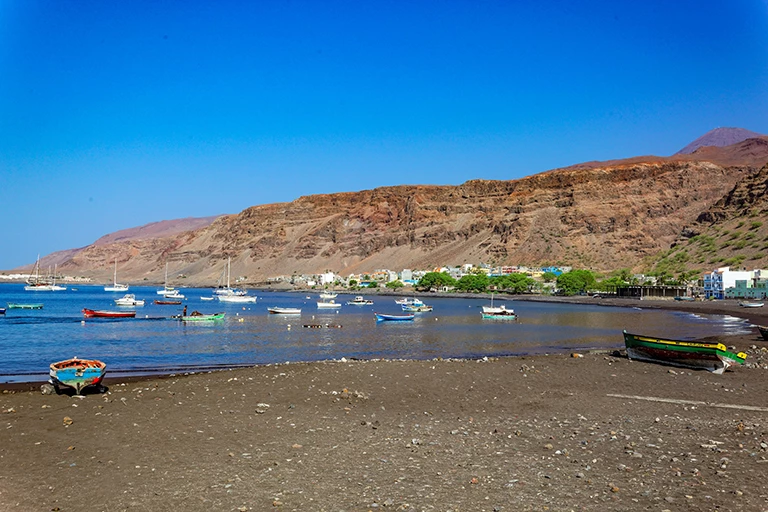
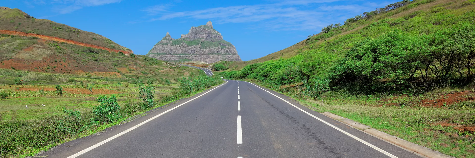
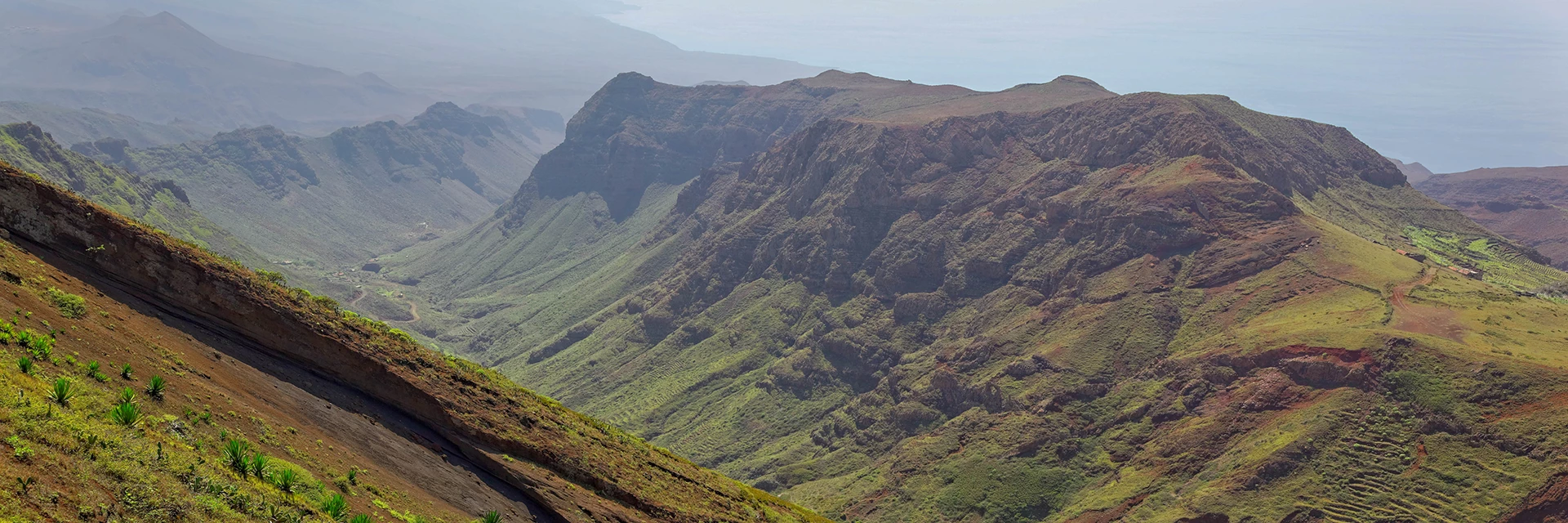
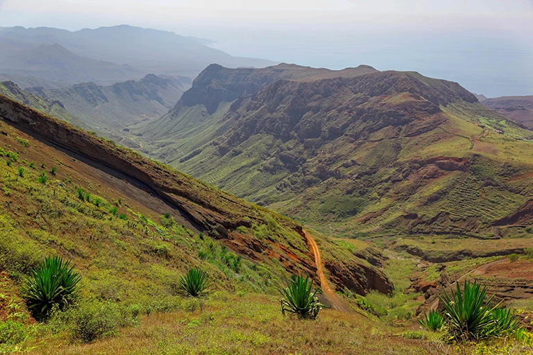
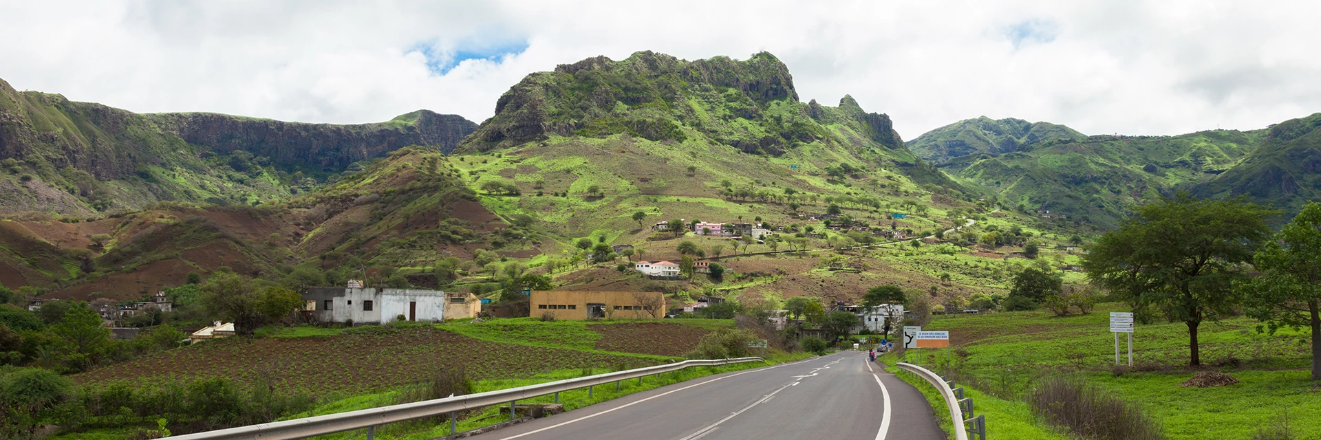
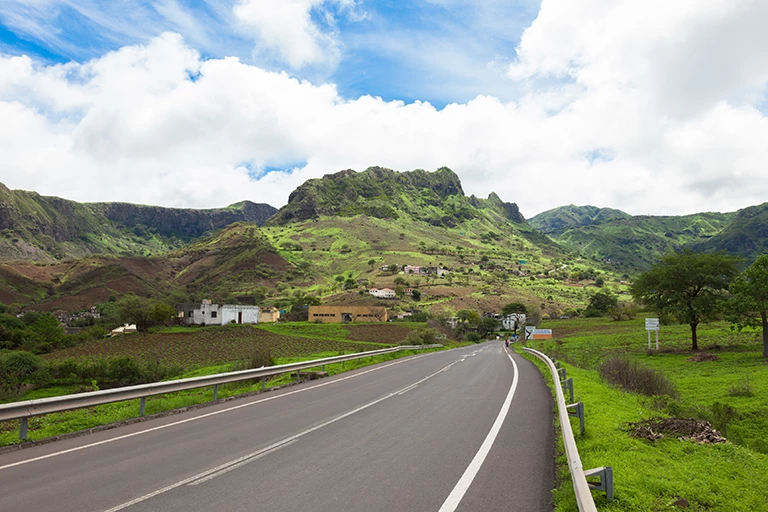
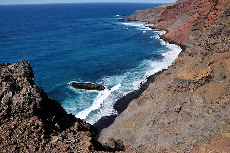
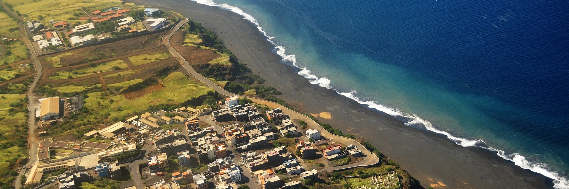
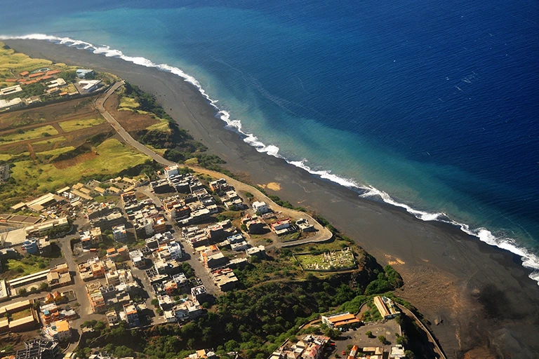
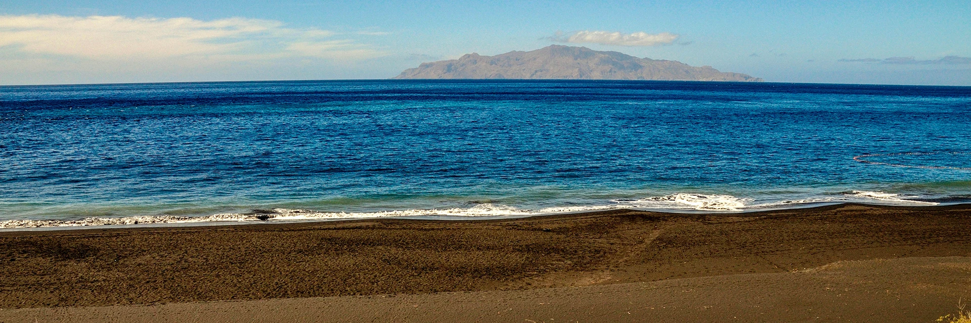
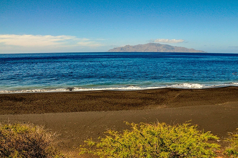
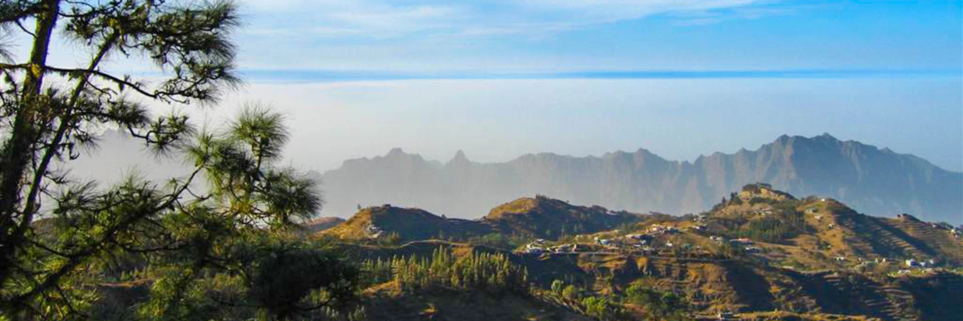
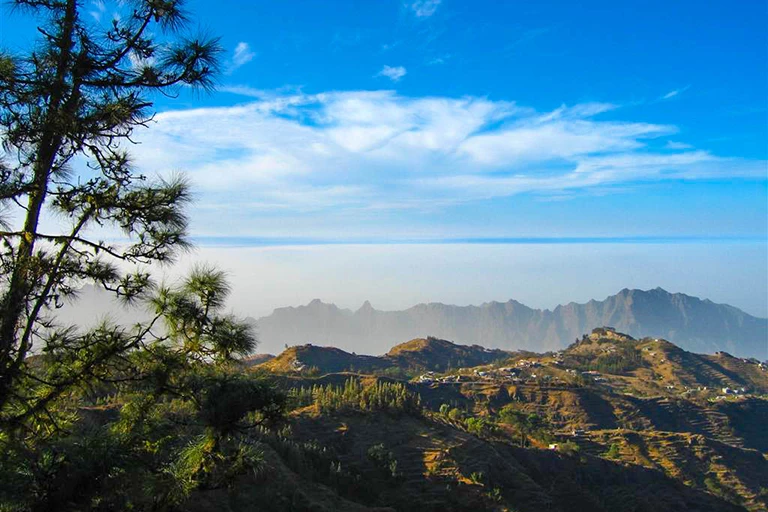
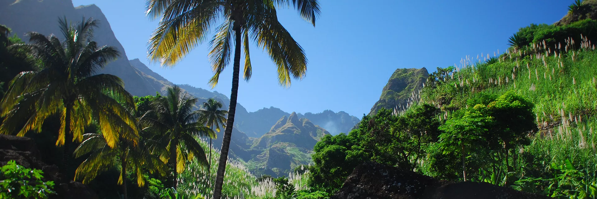
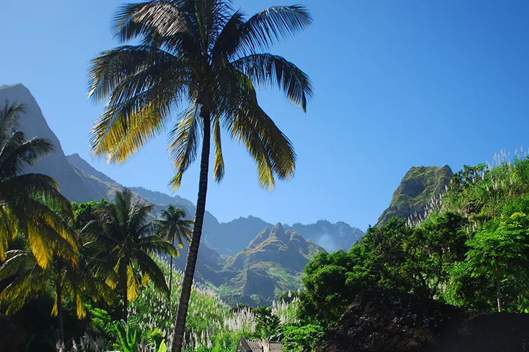
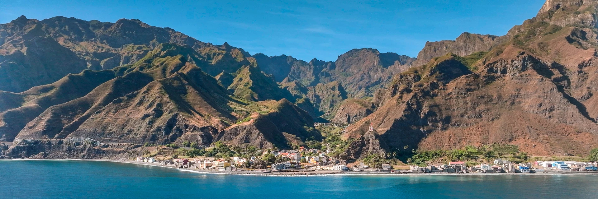
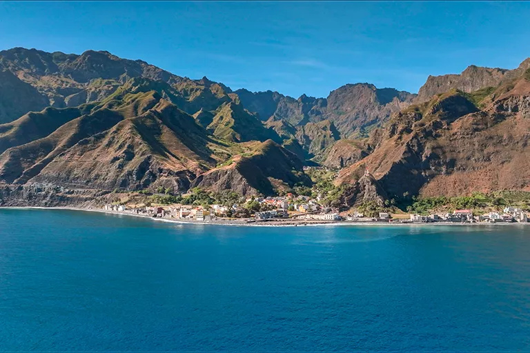
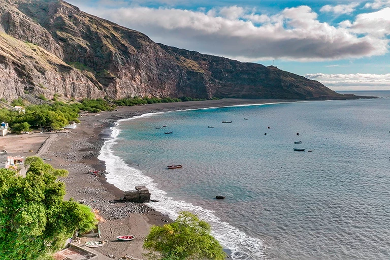
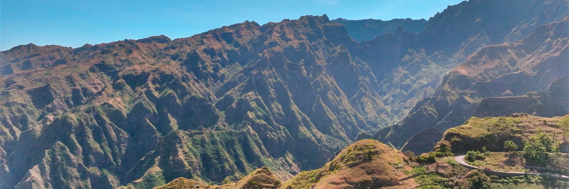
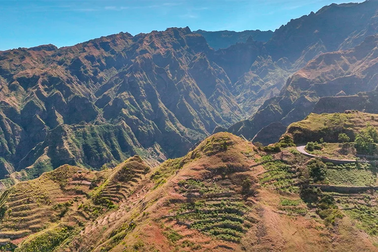
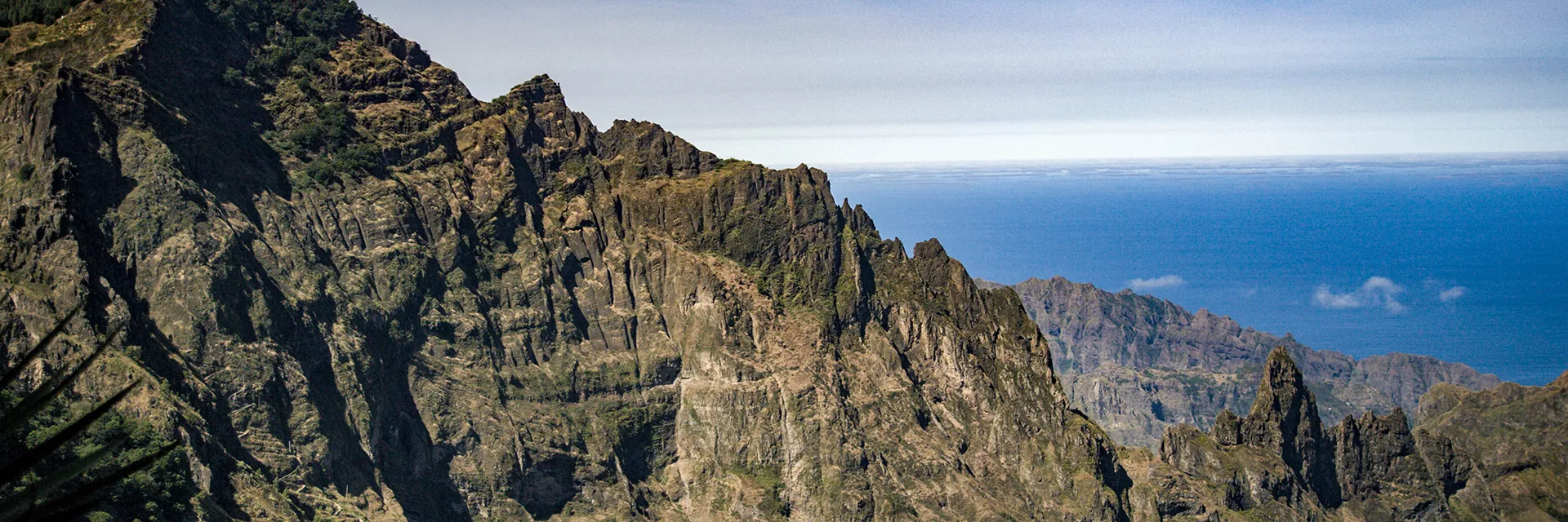
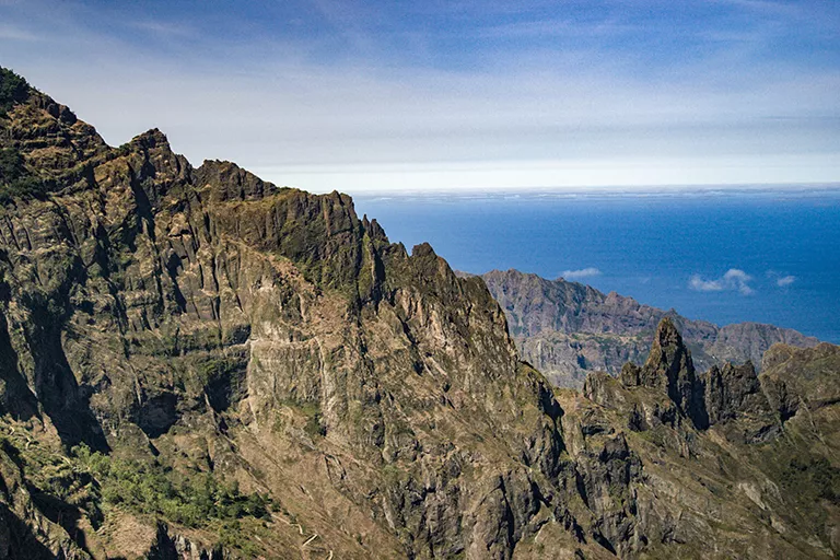
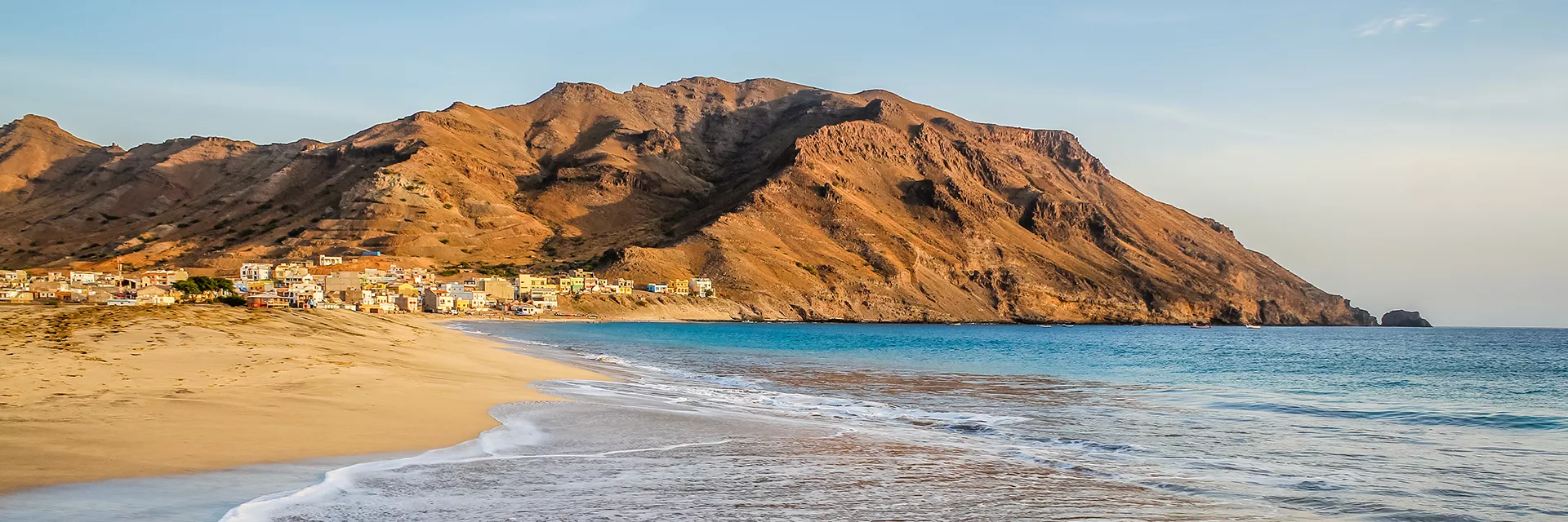
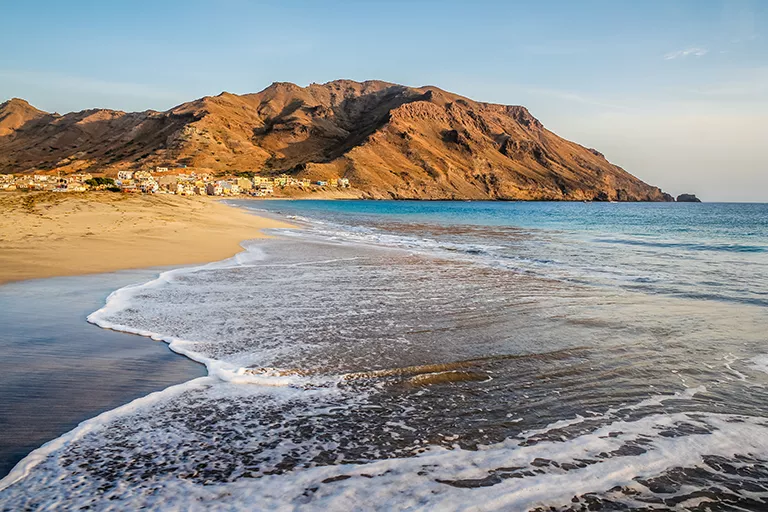
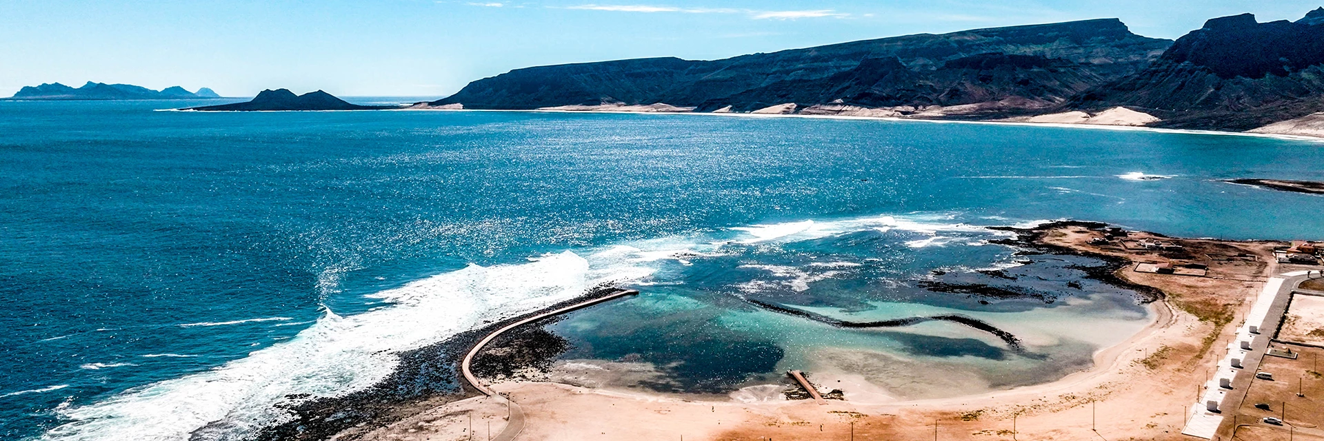
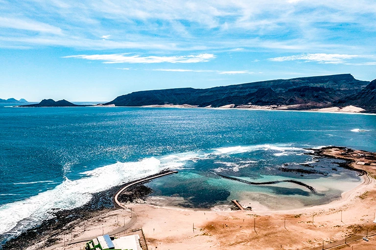
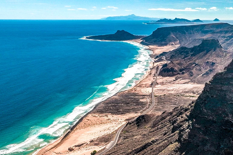
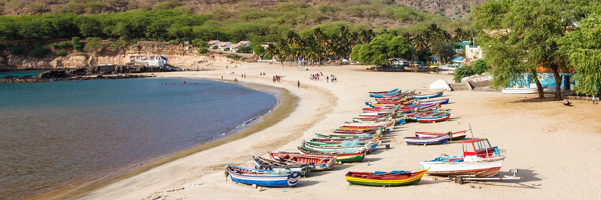
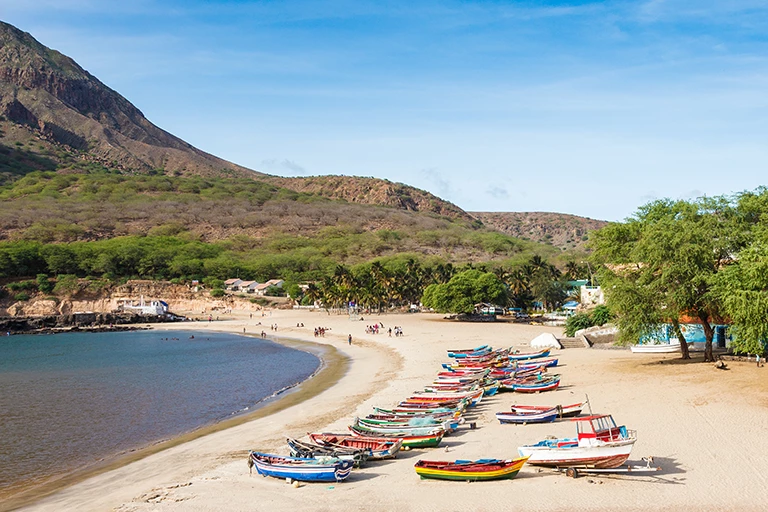
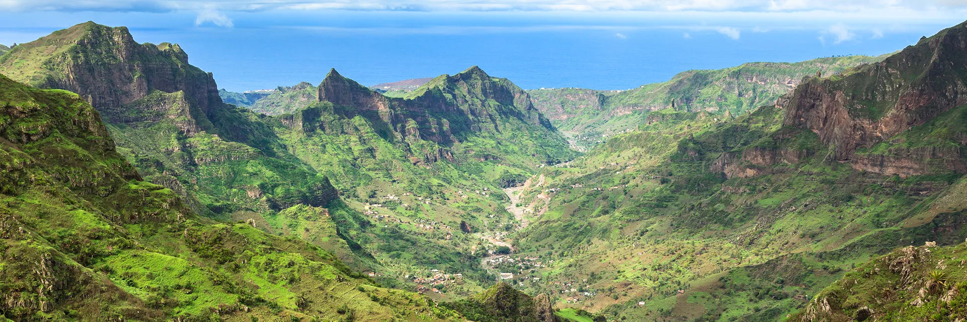
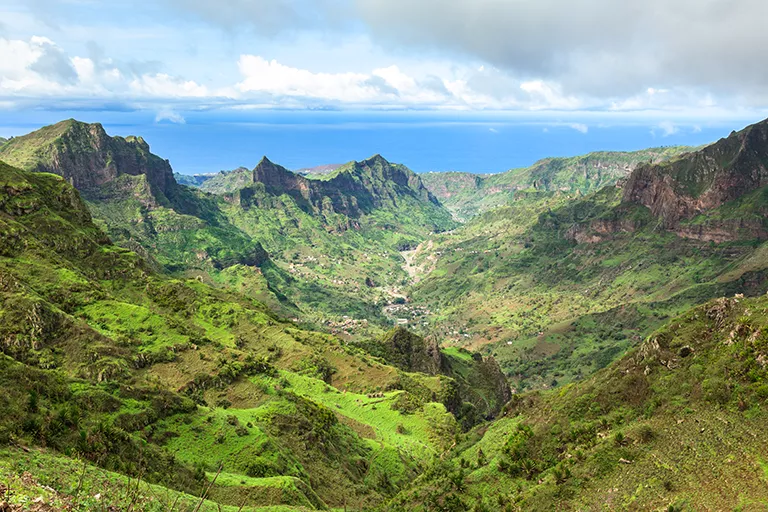
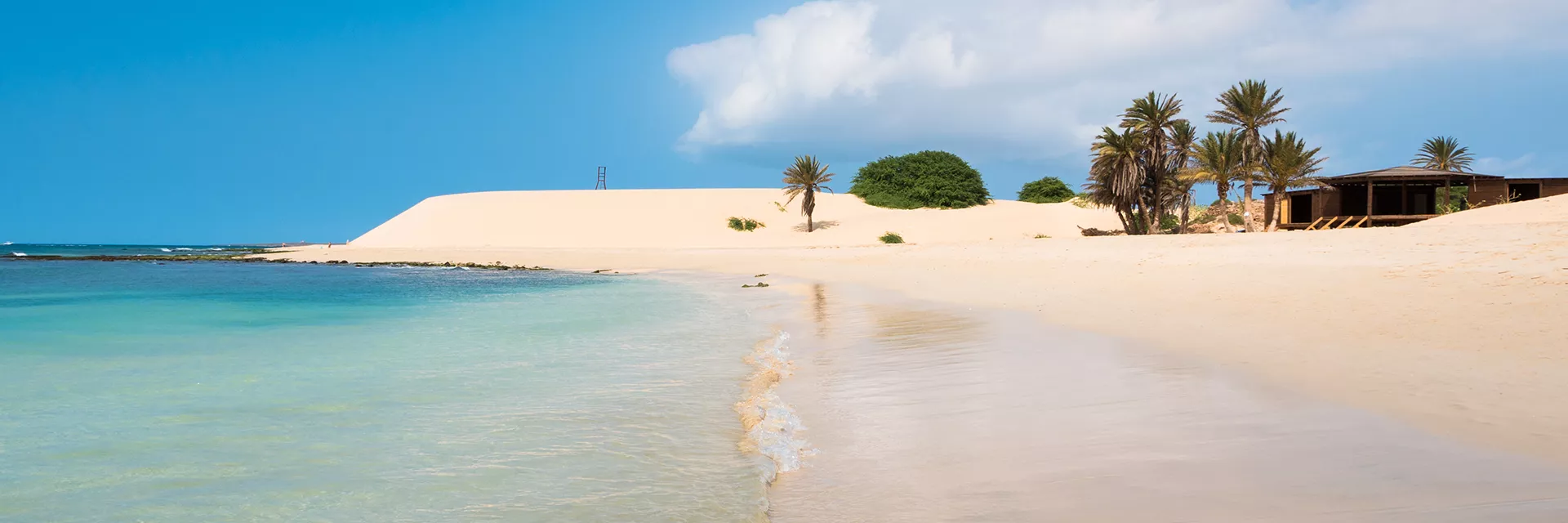
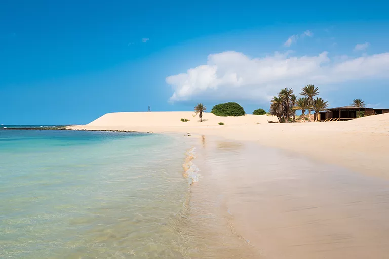
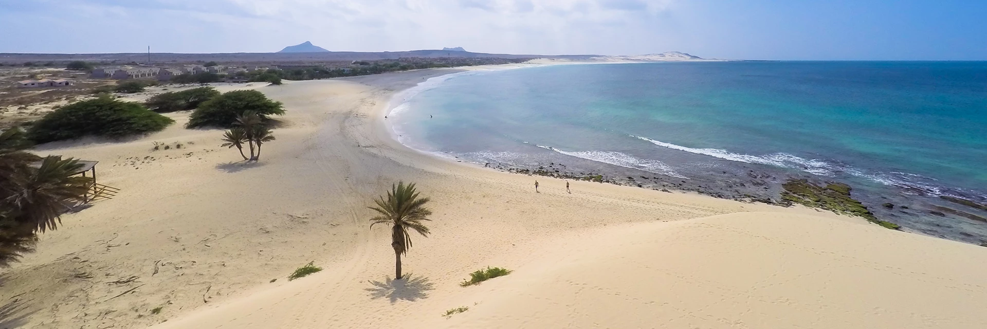
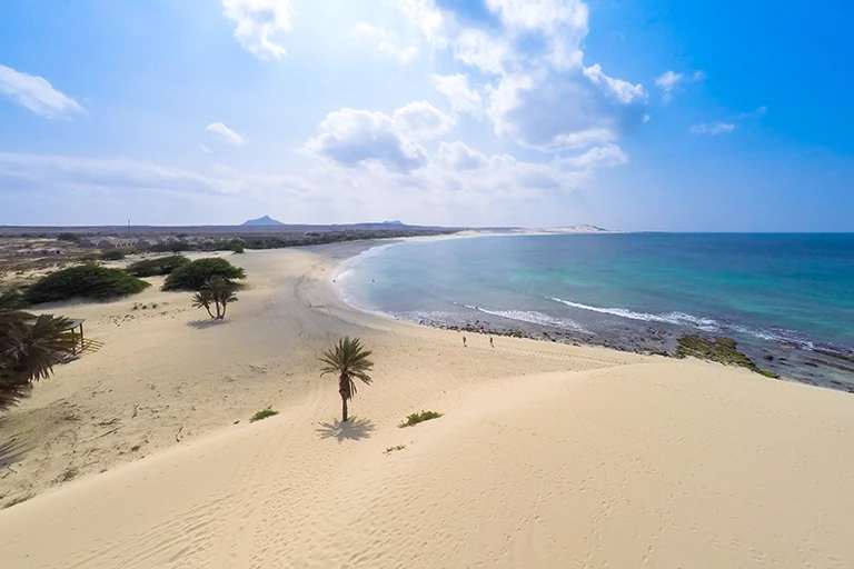
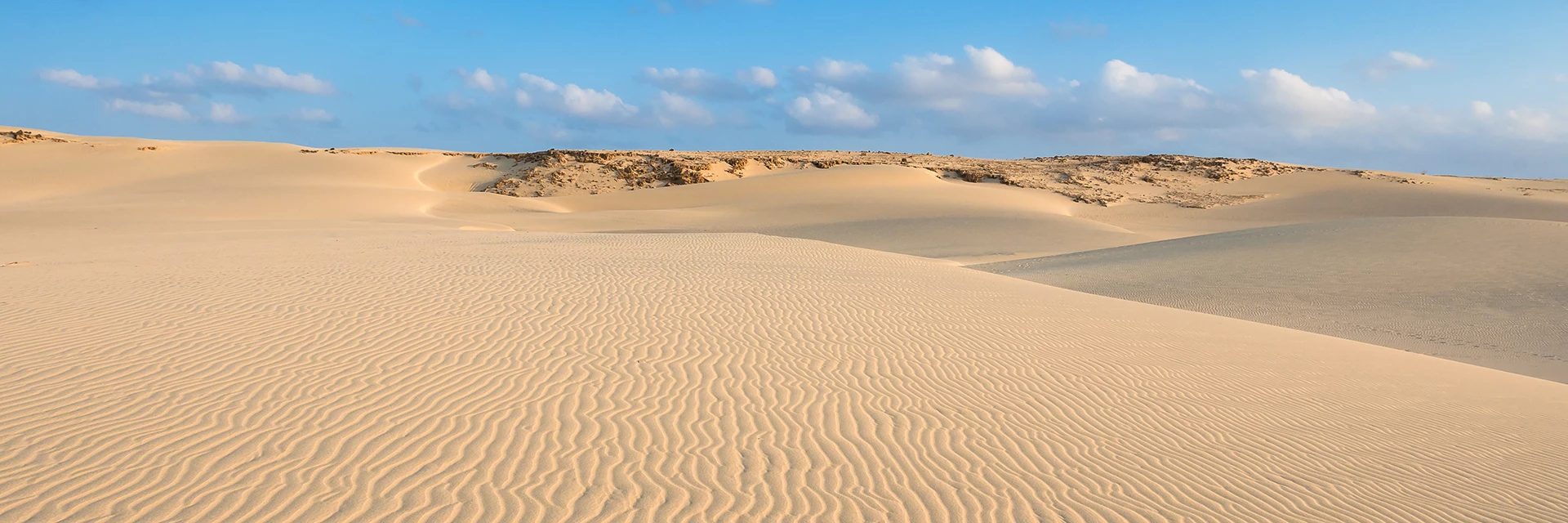
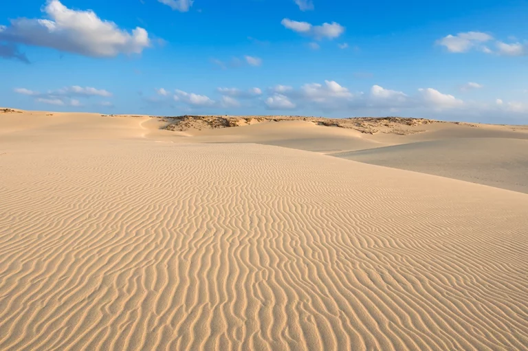
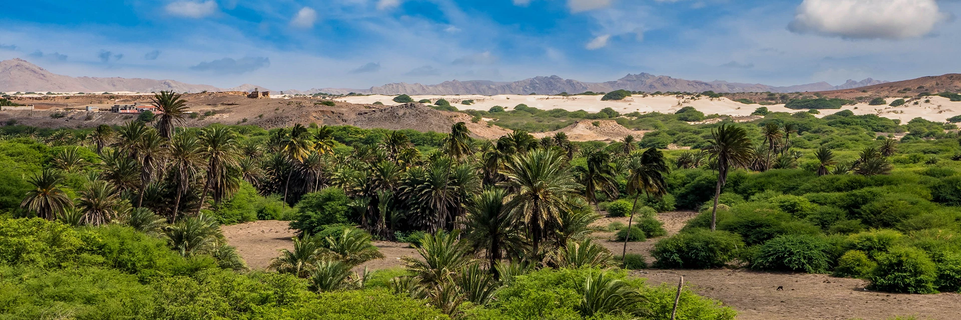
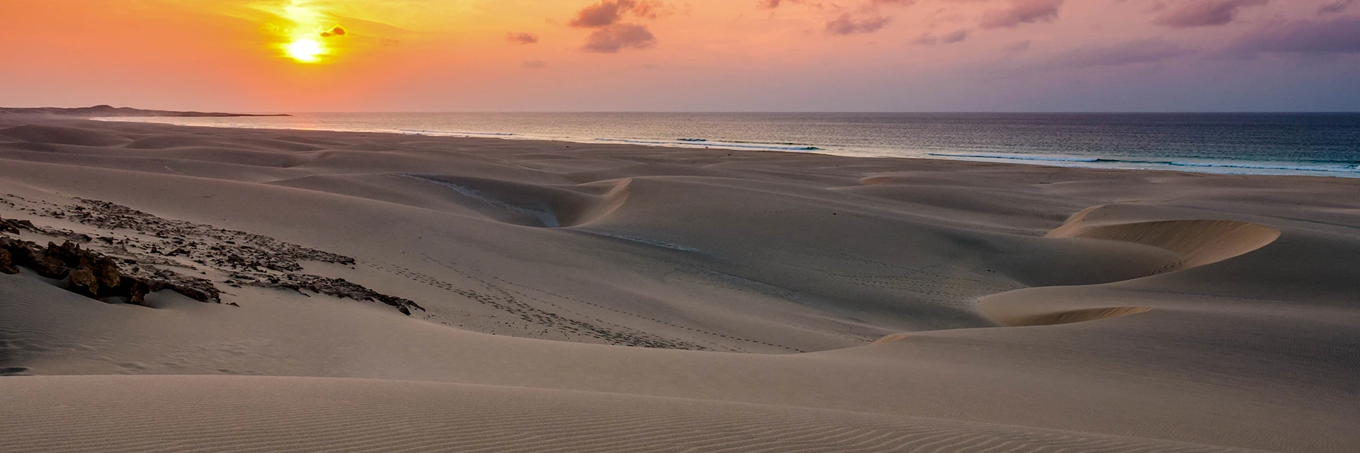
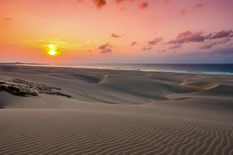
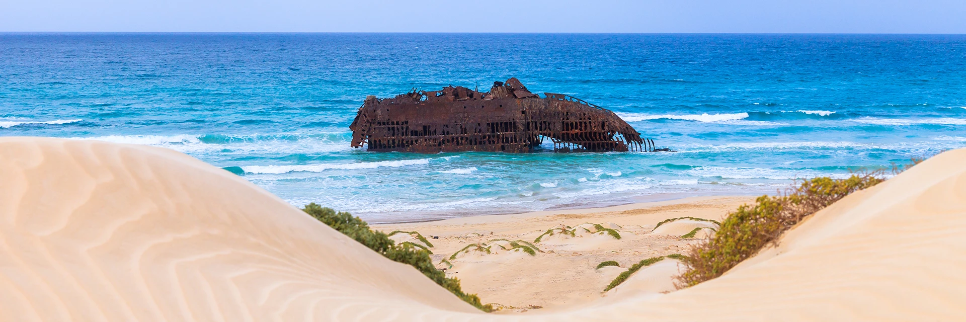
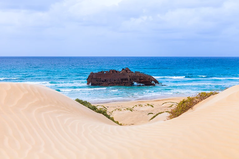
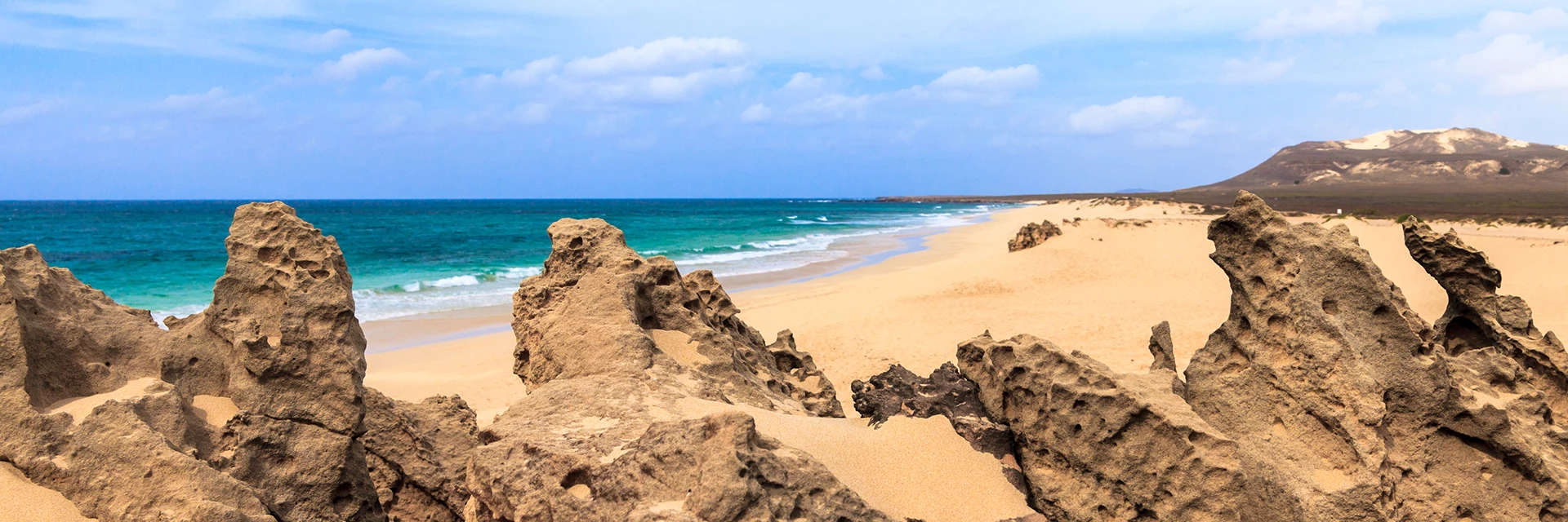
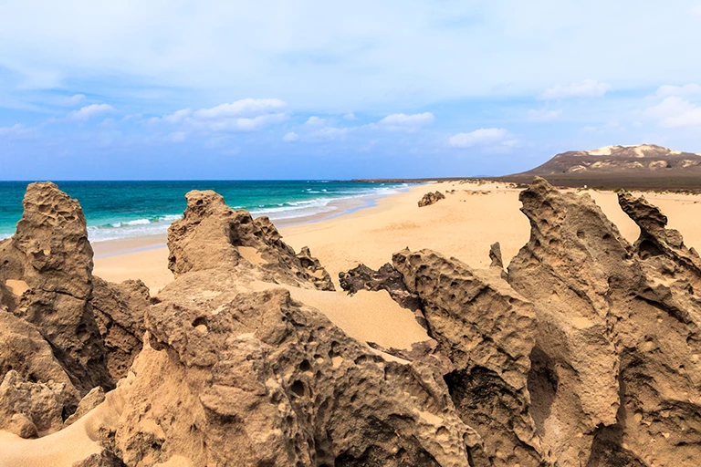
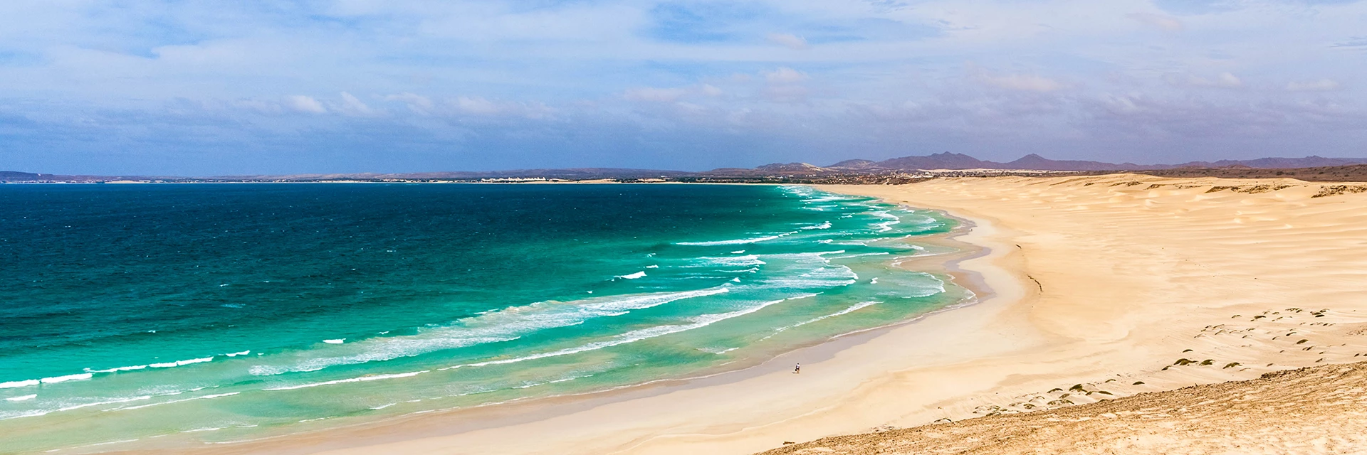
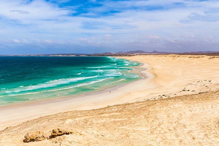
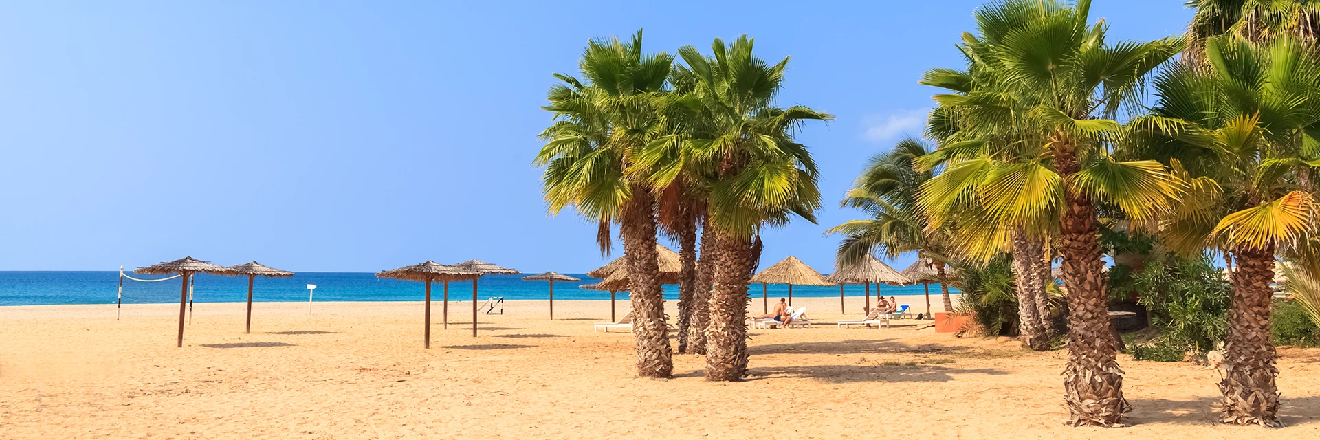
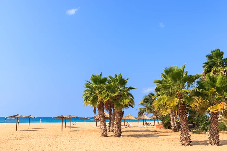
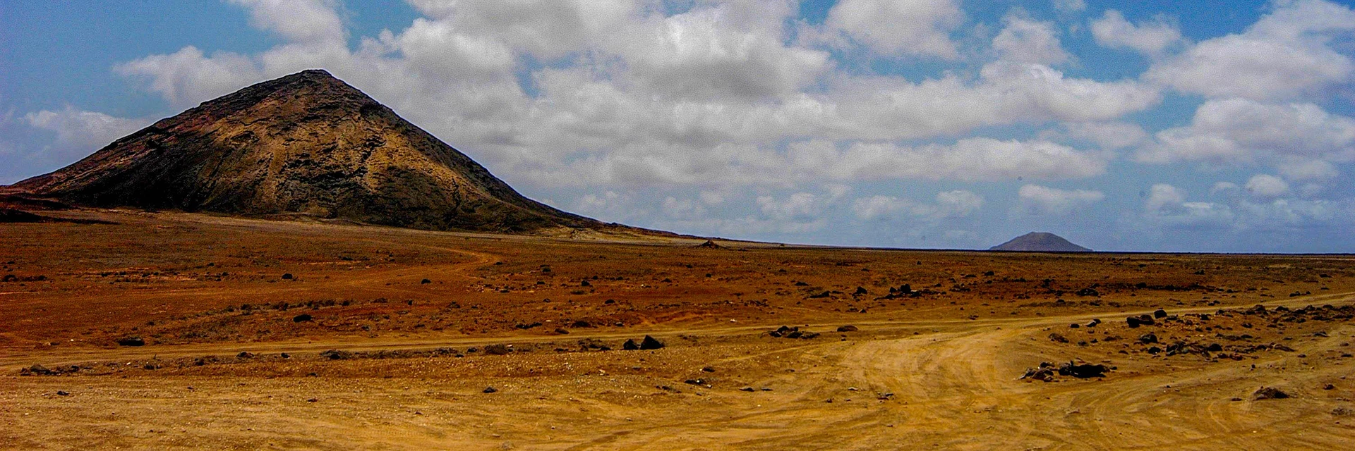
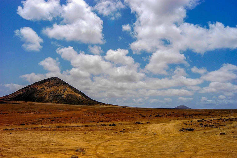
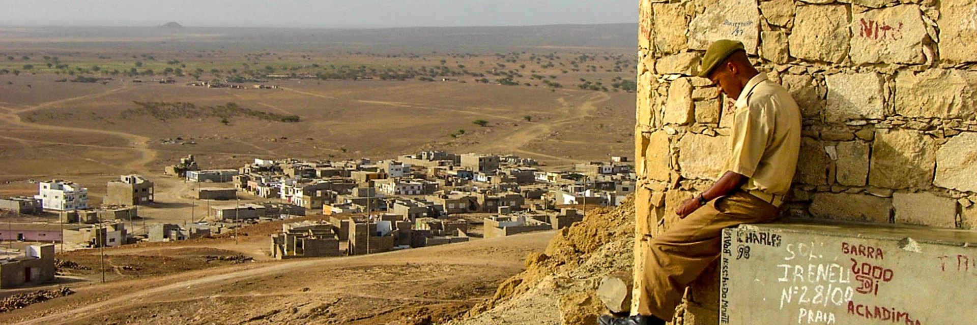
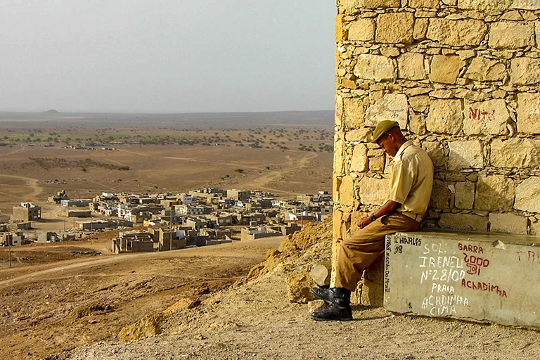
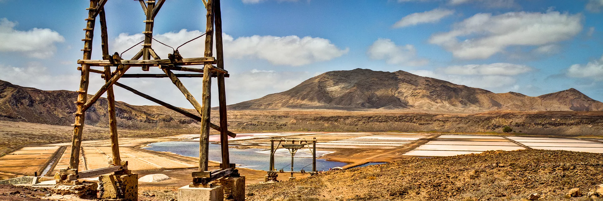
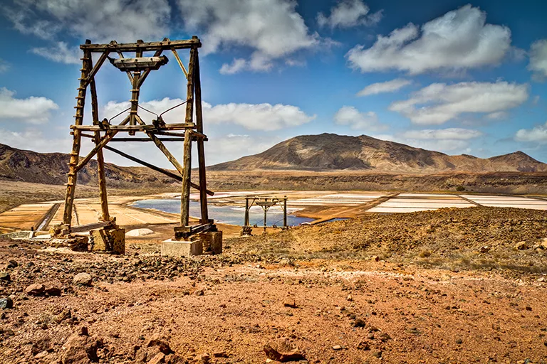
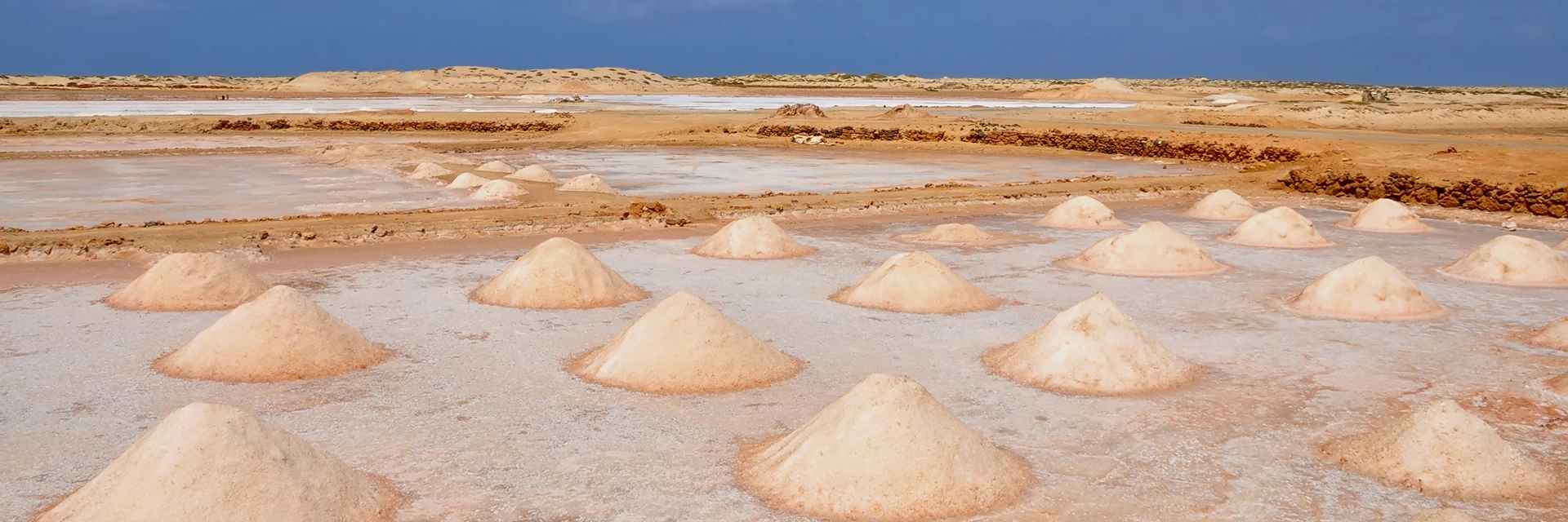
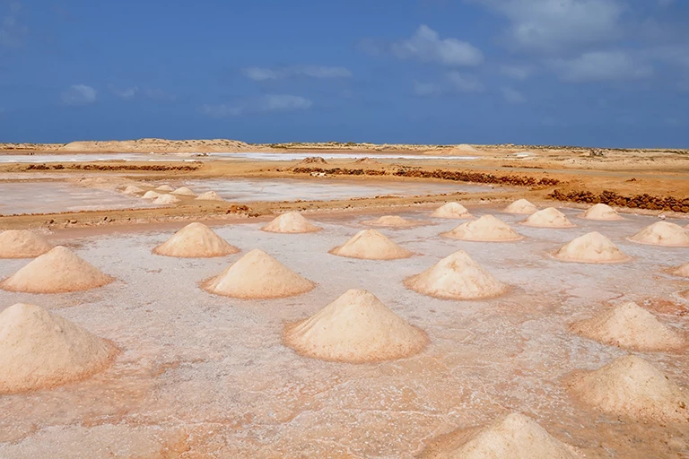
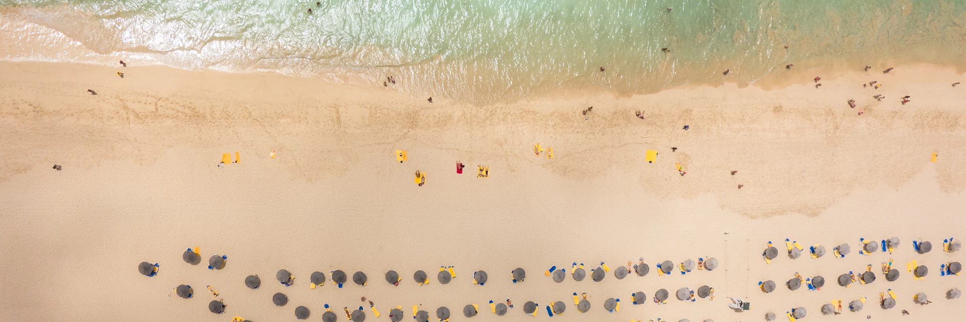
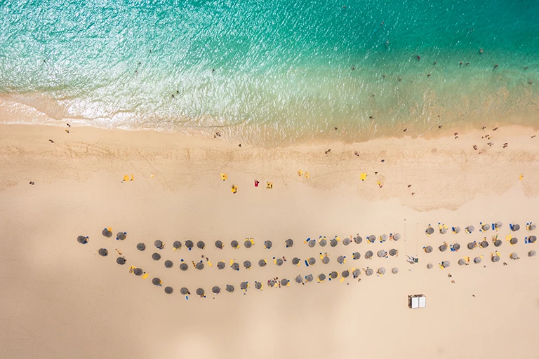
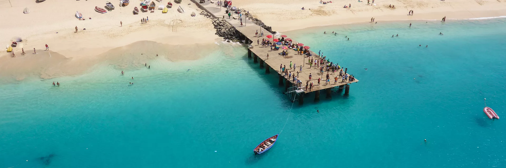
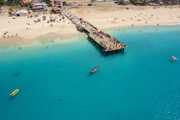
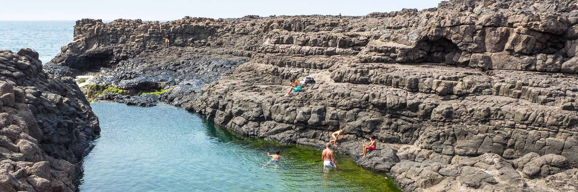
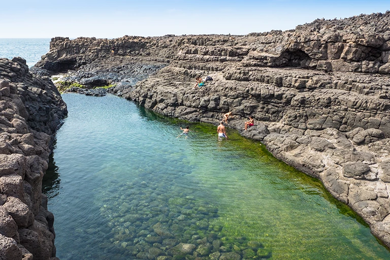
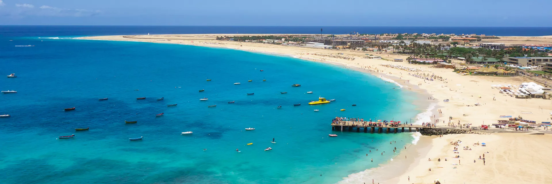
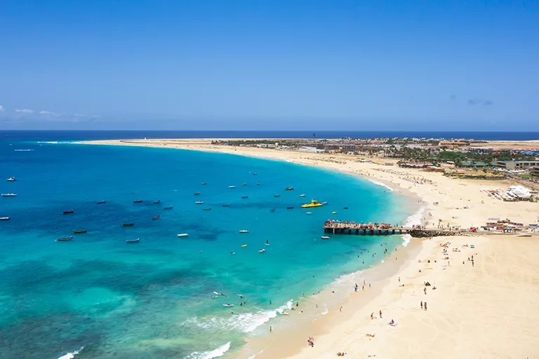
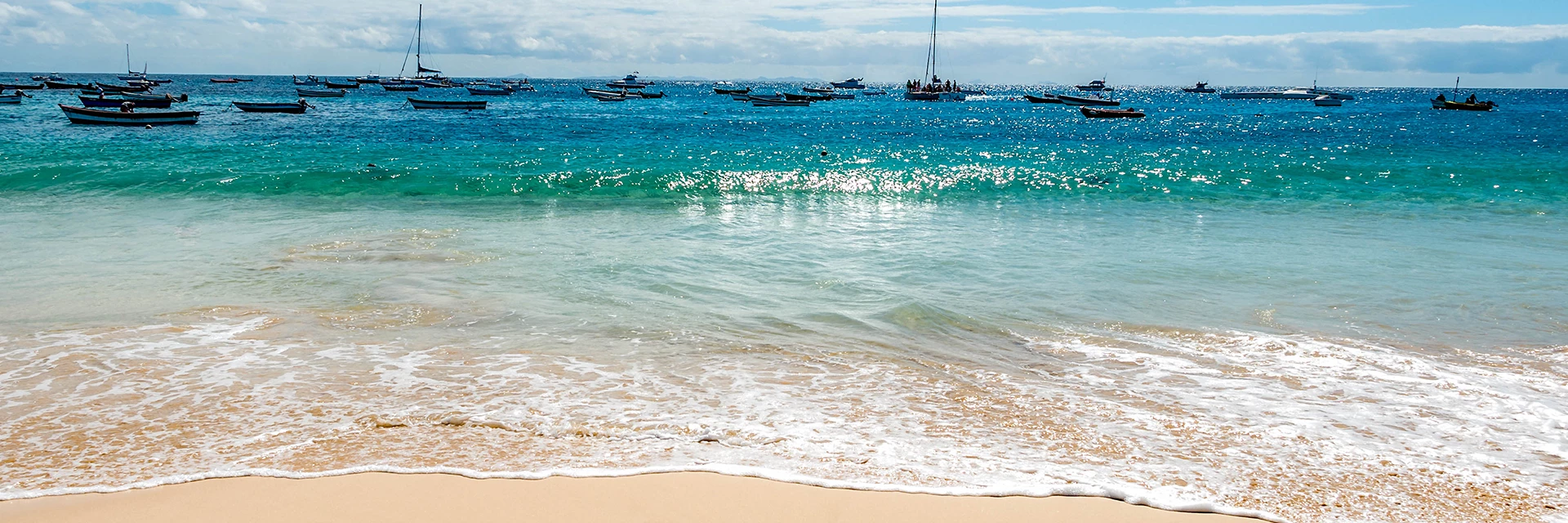
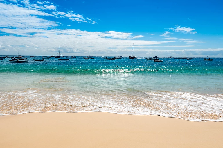
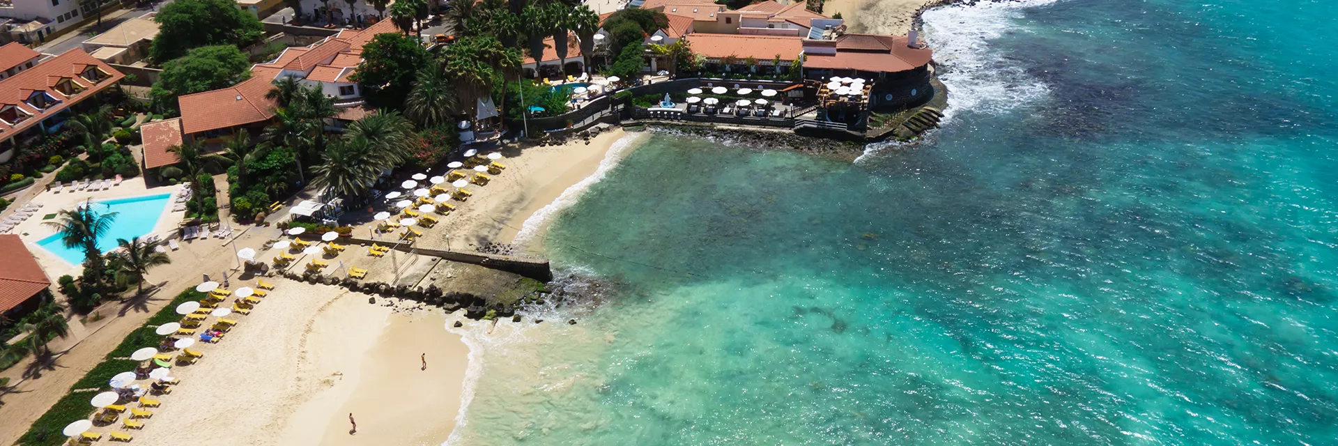
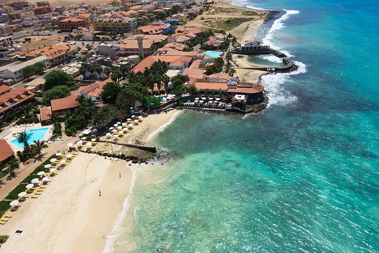
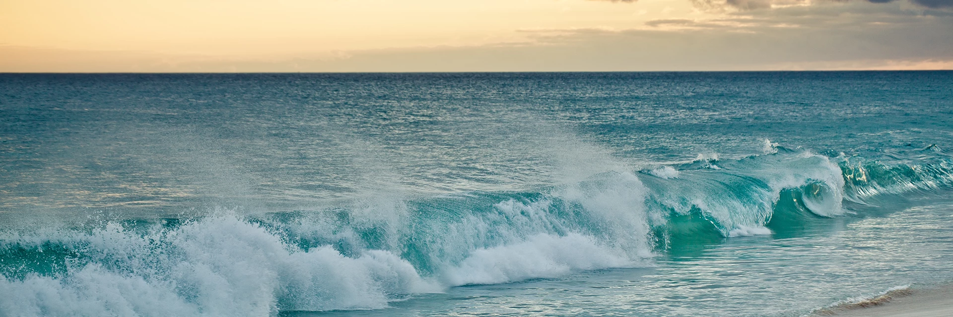
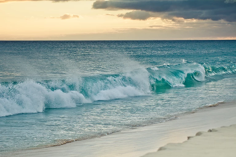
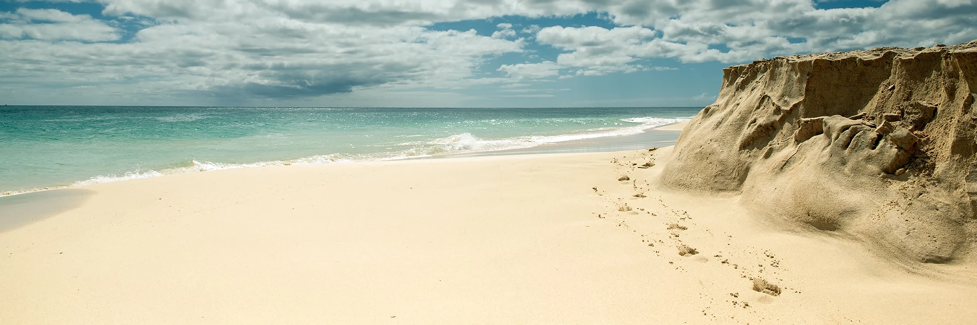
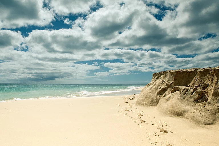
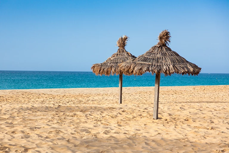
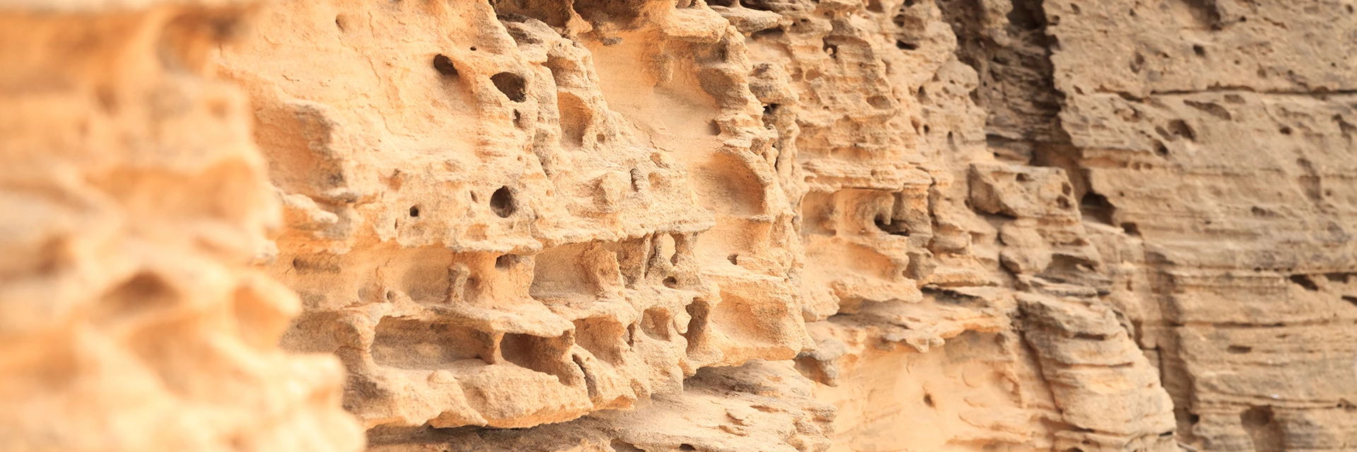
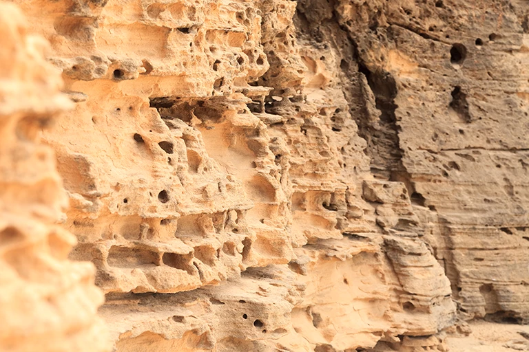
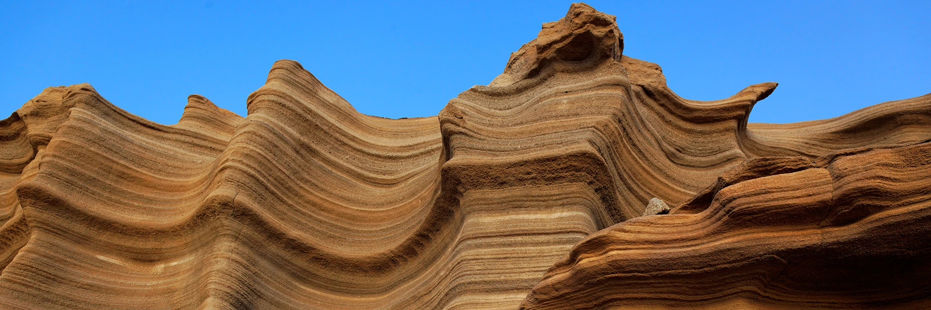
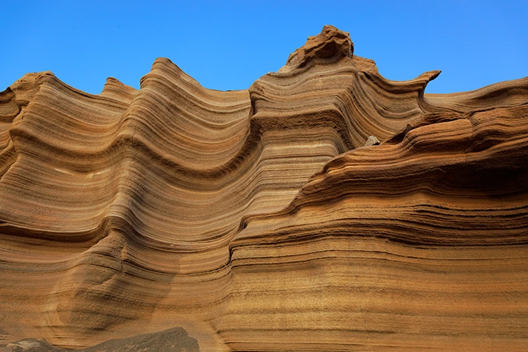
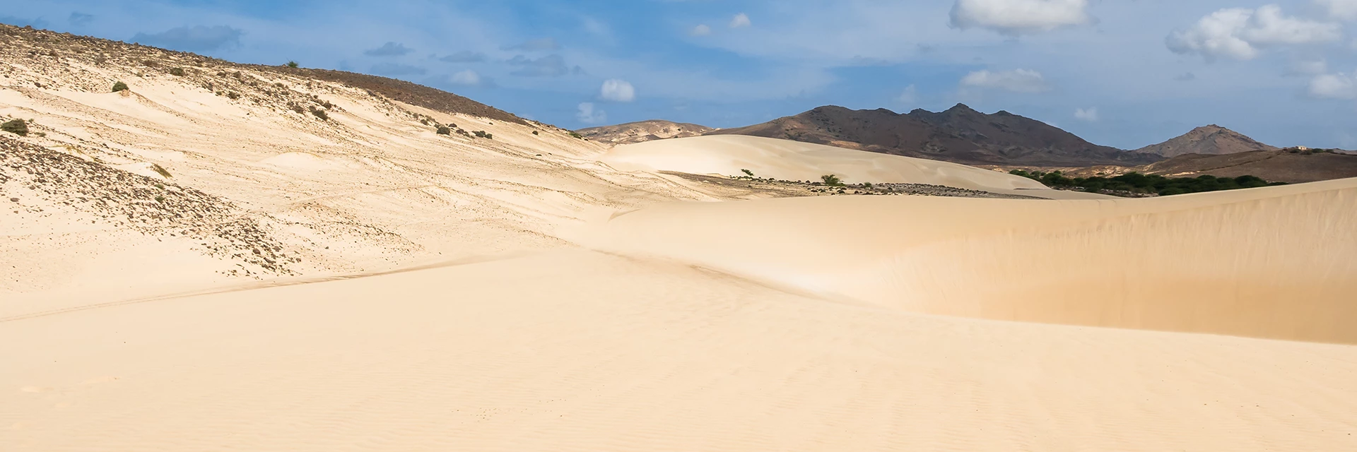
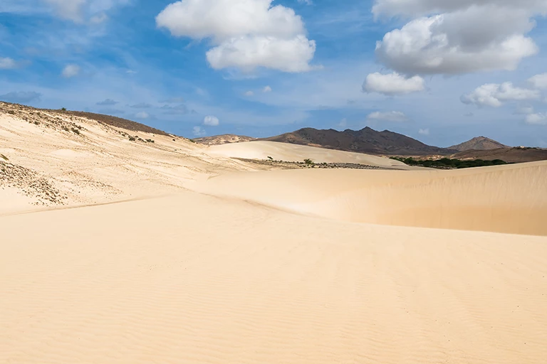
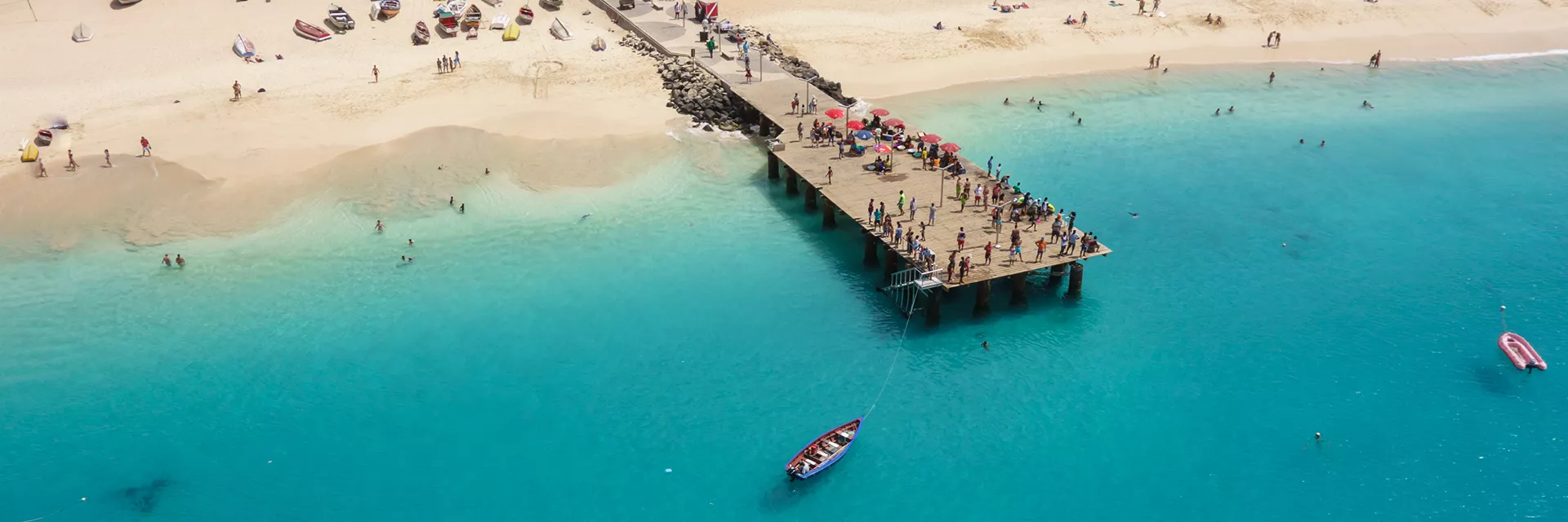
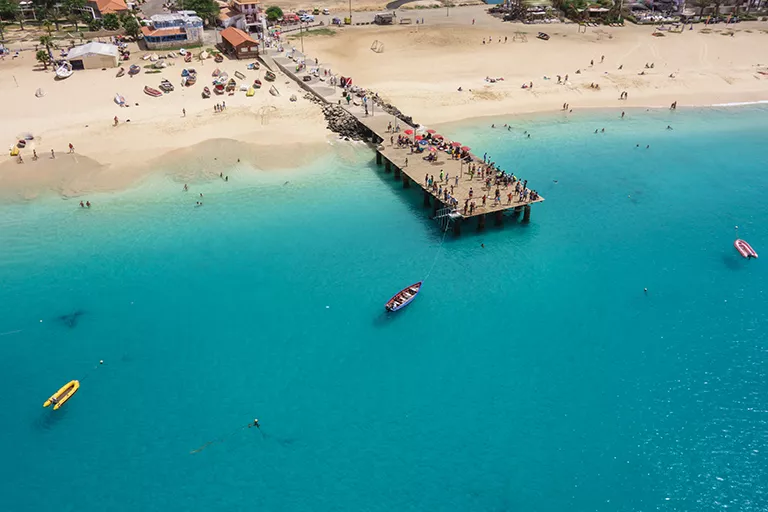
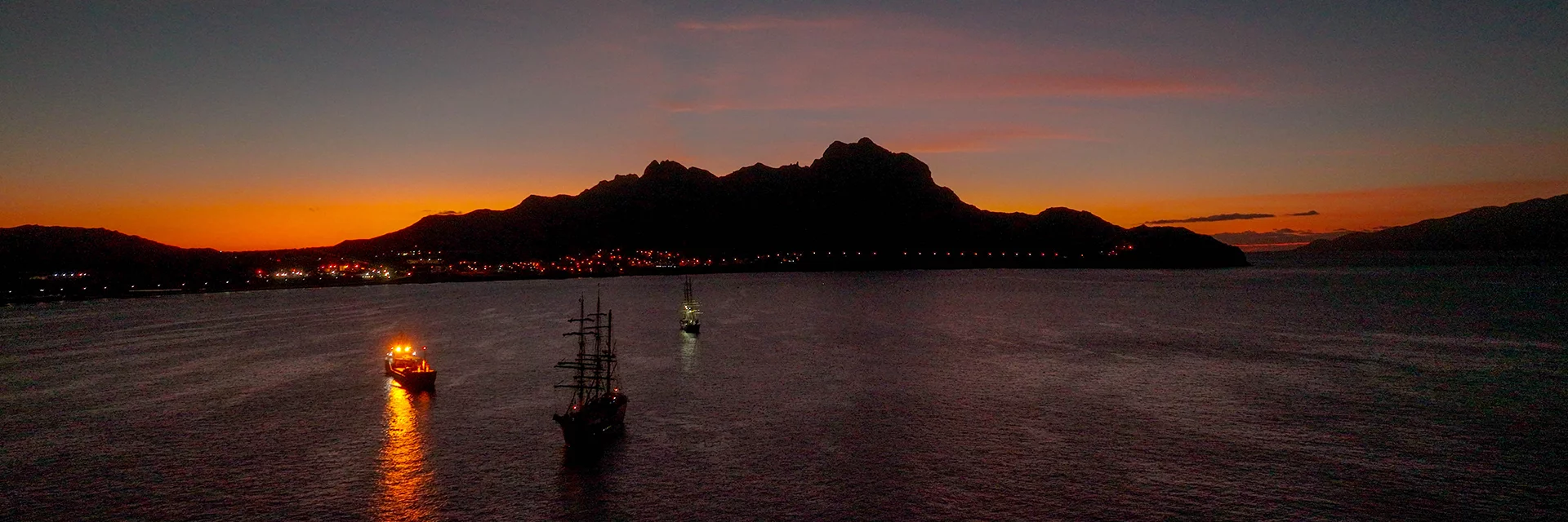
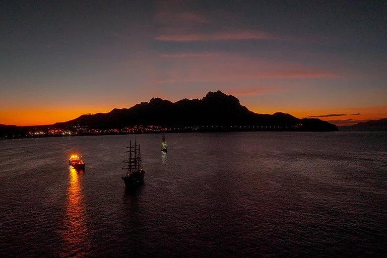
About 135 million years ago, the islands rose out of the sea due to plate-tectonic shifts and volcanic eruptions. Through the various effects of wind and rain, the islands sometimes display a greatly contrasting surface structure. The eastern islands, which are distinguished by a flat relief, are differentiated from the mountainous western islands. While dry, flat desert landscapes and white sandy beaches predominate in the east with Sal, Boavista and Maio, rugged mountain ranges with green valleys and volcanoes can be found in the western archipelago with Santo Antão, São Vicente, São Nicolao, Santiago, Fogo and Brava.
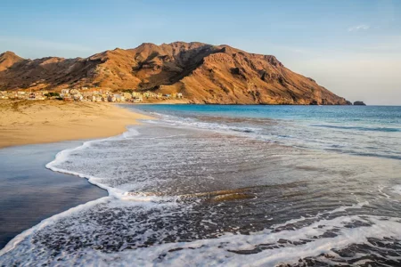
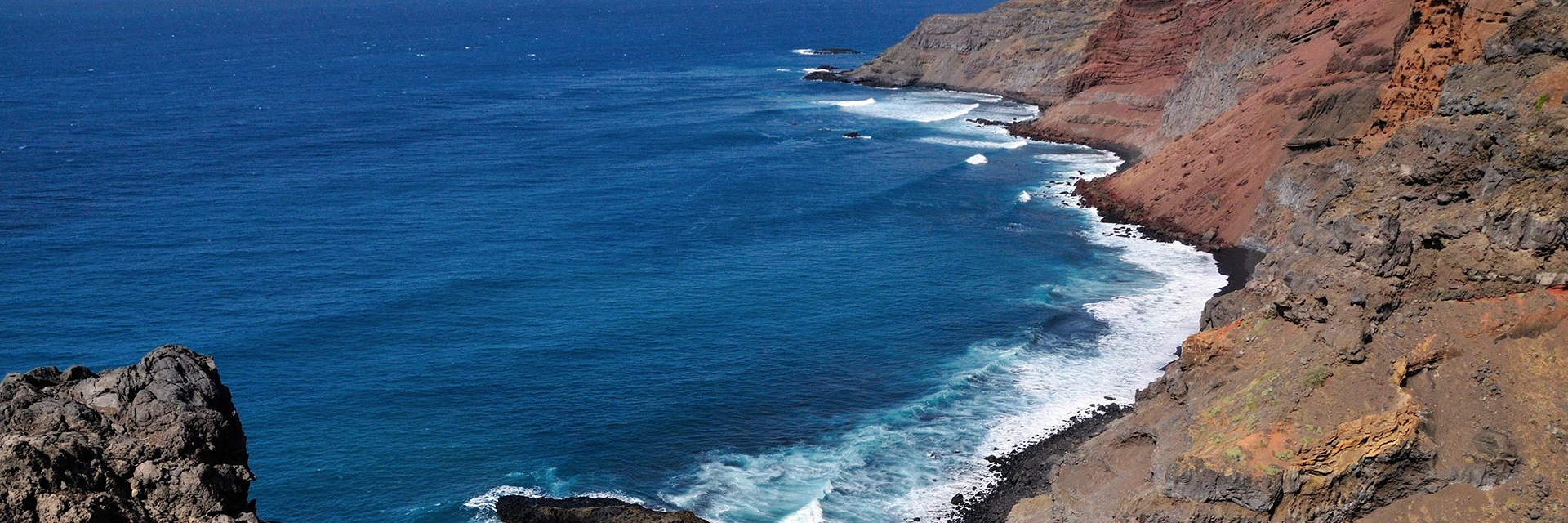
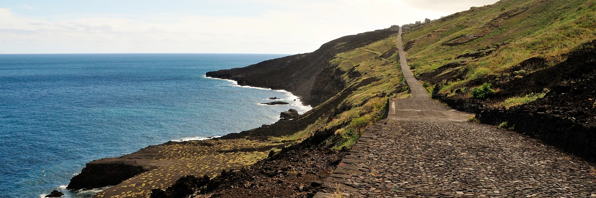
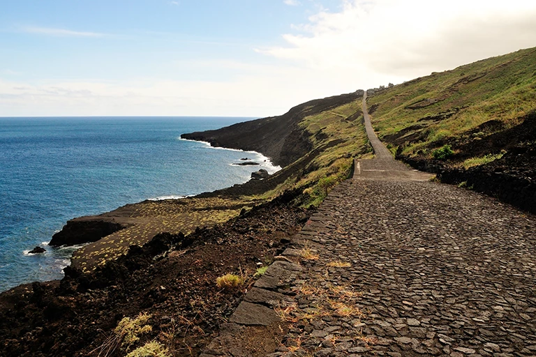
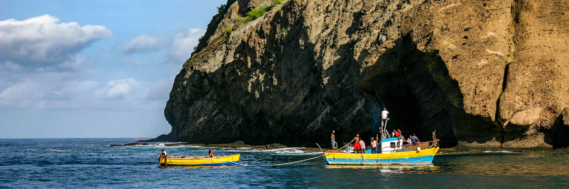
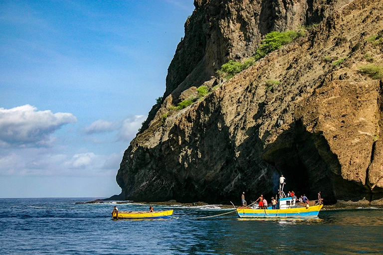
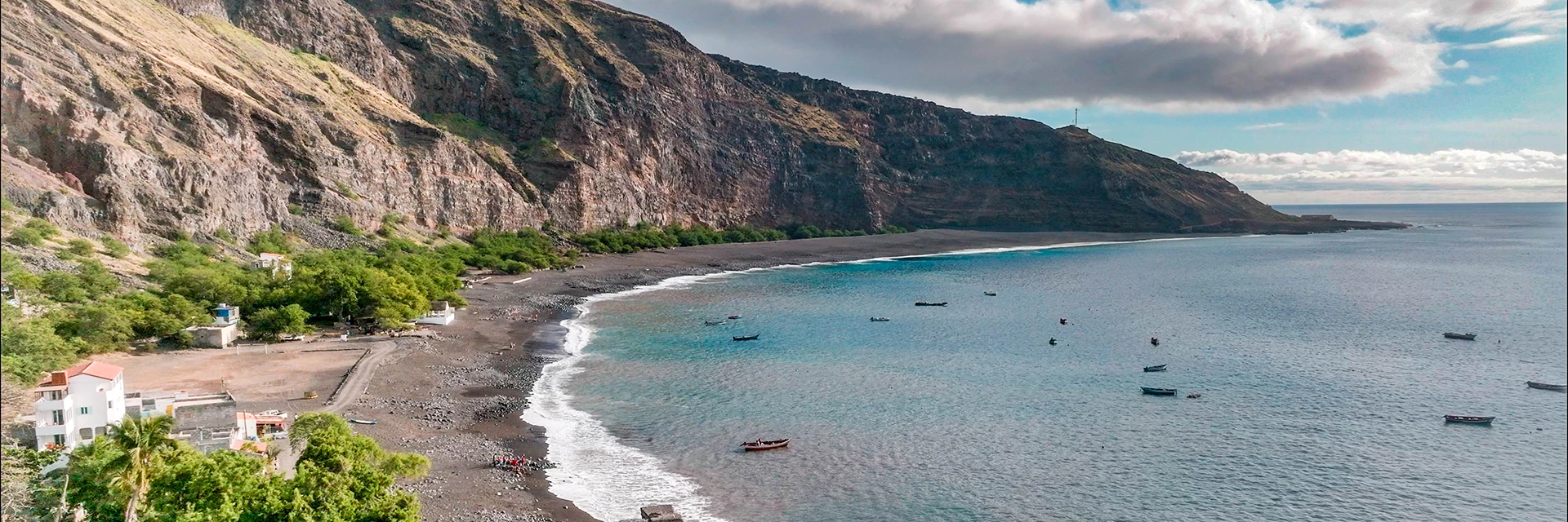
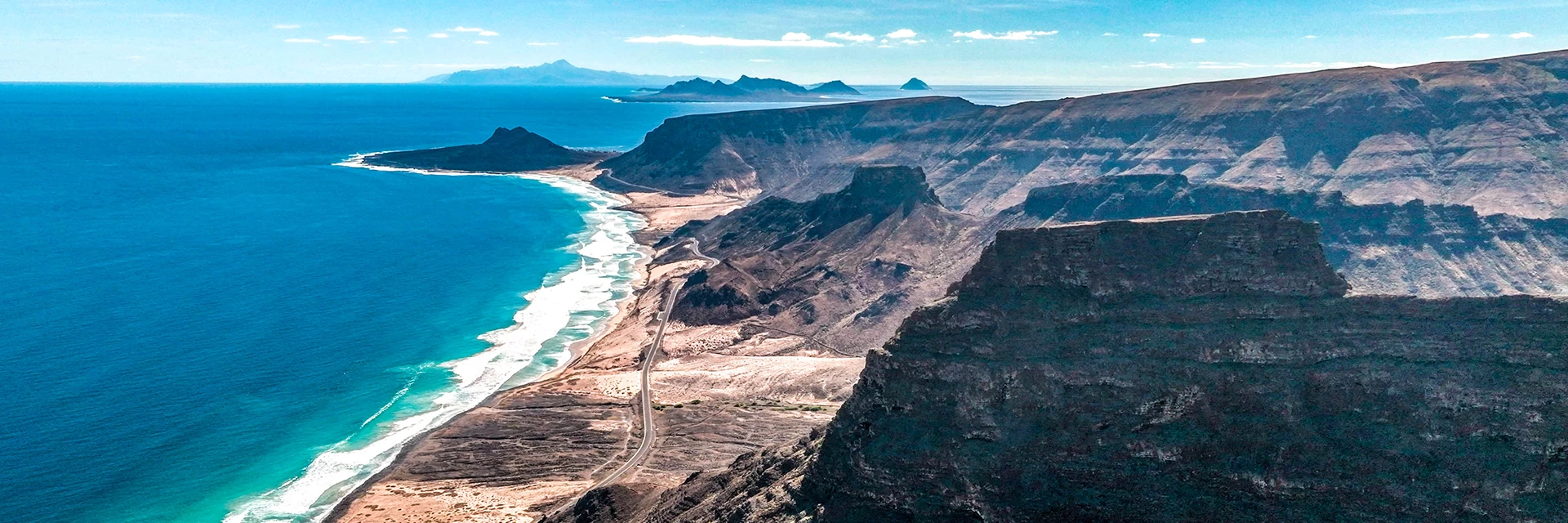
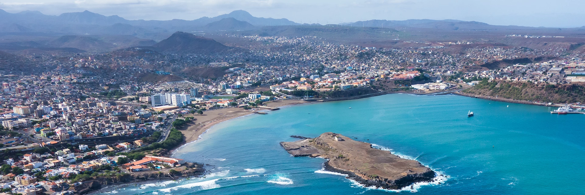
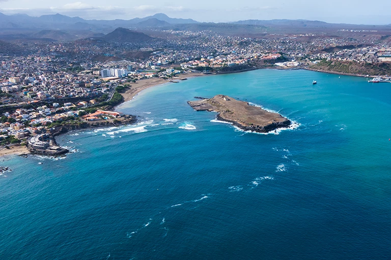
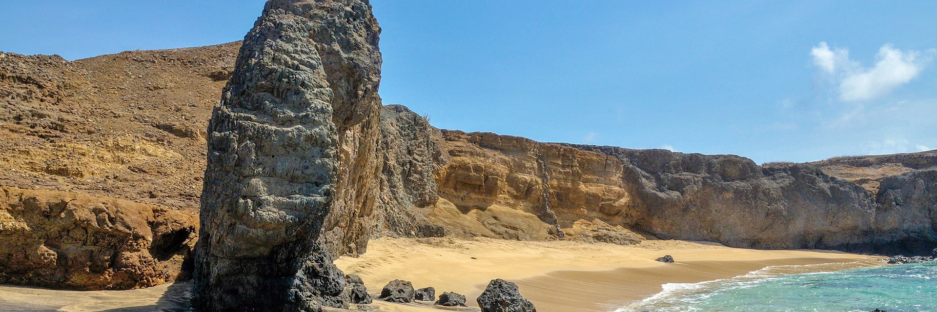
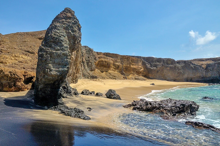
The coasts on the eastern islands are shallow as they slope into the sea, while the western islands have steep cliffs of up to 800 metres bordering on the ocean.
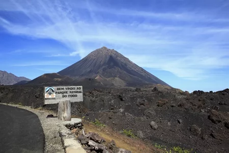
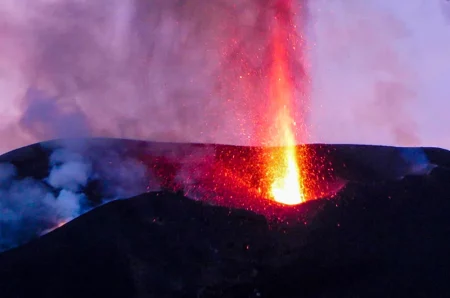
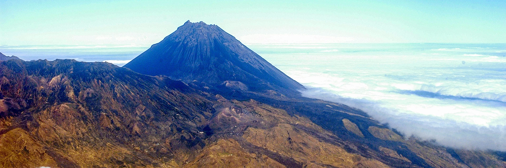
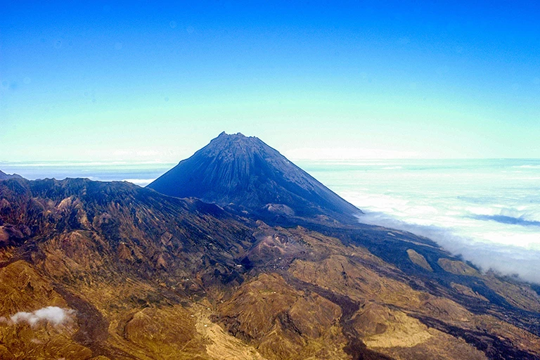
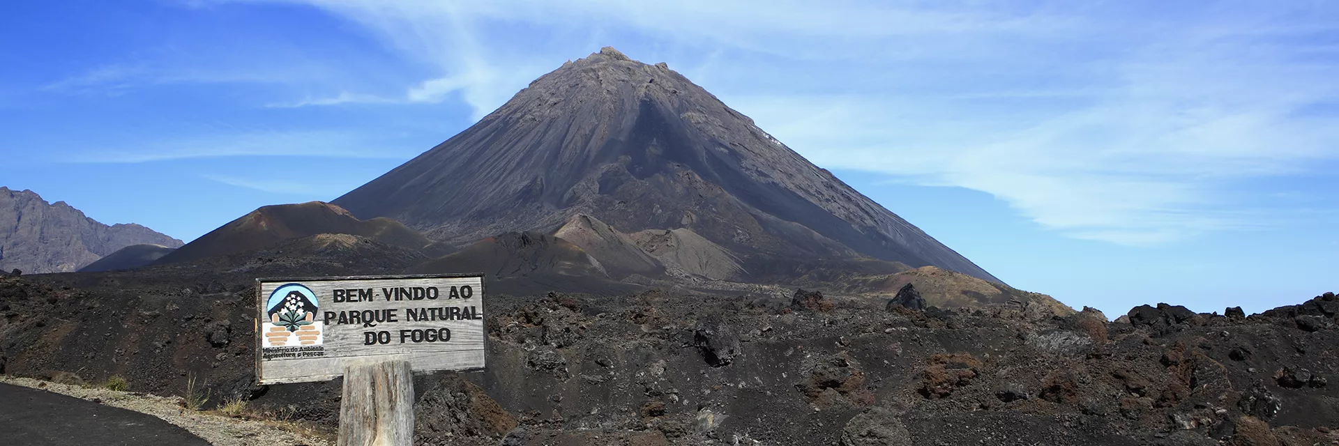
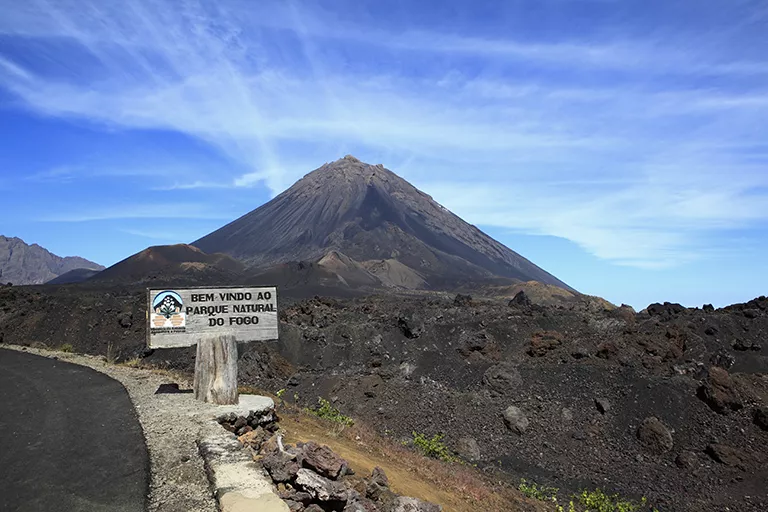
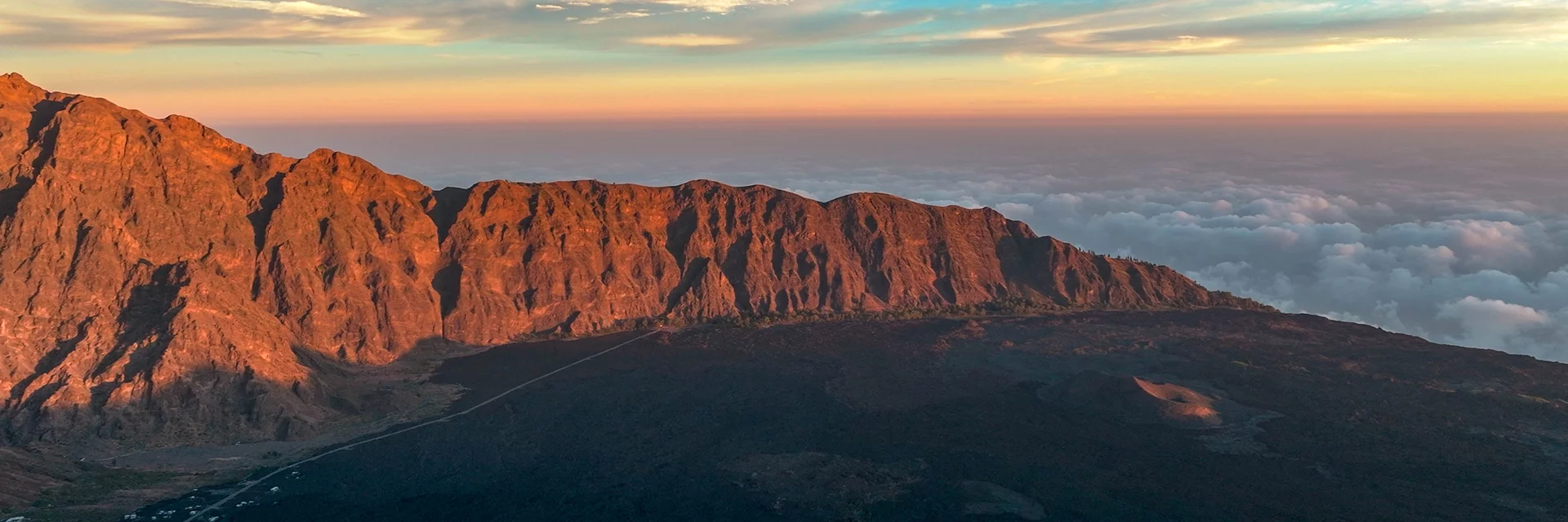
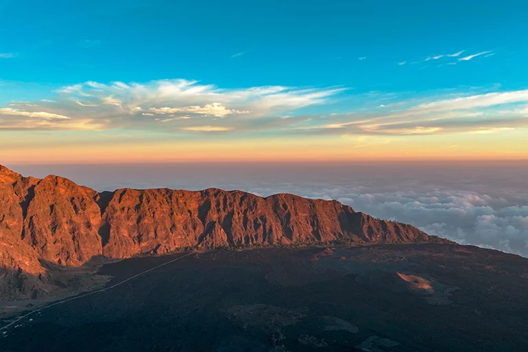
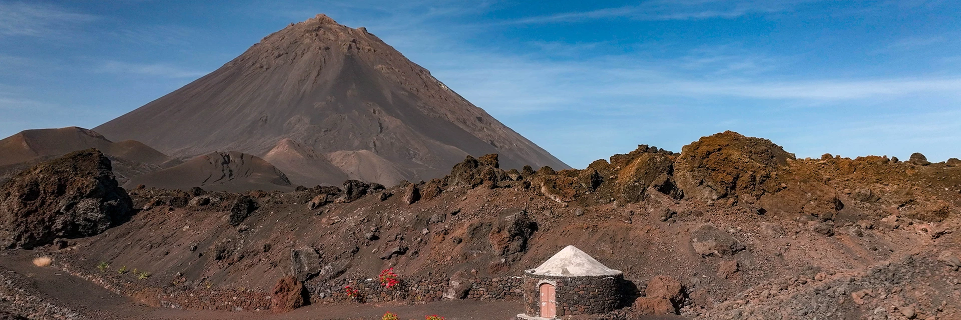
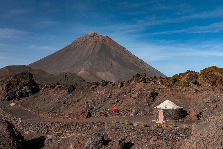
The islands’ highest elevation is the Pico de Fogo on the island of Fogo with a height of 2829 metres, which is still an active volcano that most recently erupted in 1995 and 2014.