


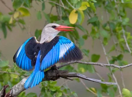
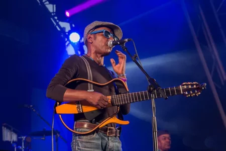
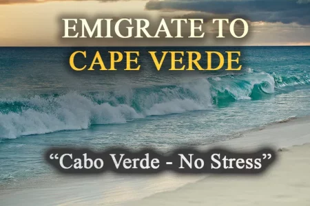


Overview of the island
779 km² (the second largest island)
Approx. 45,000
Ribeira Grande (approx. 3,000 inhabitants)
Tope de Coroa, 1,979 m
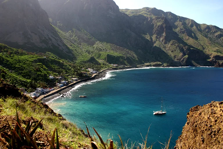
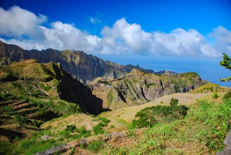
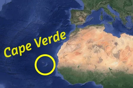
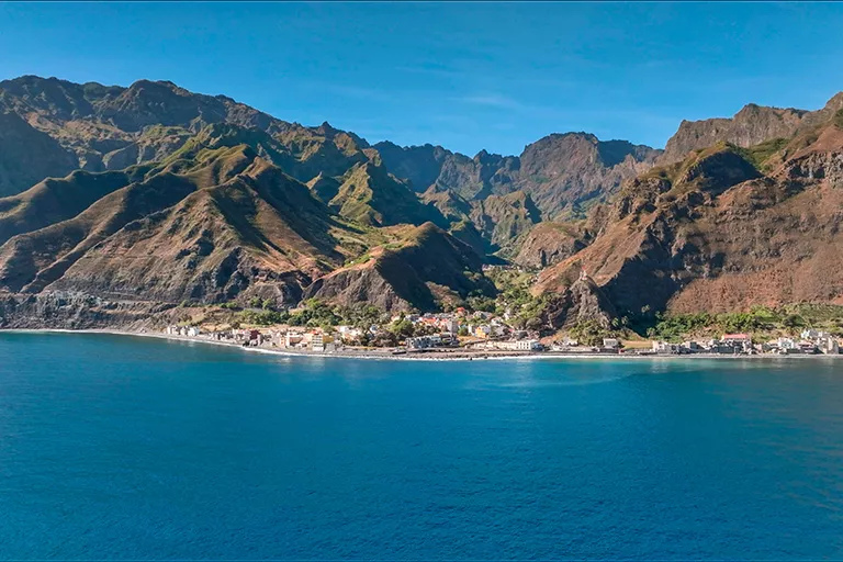
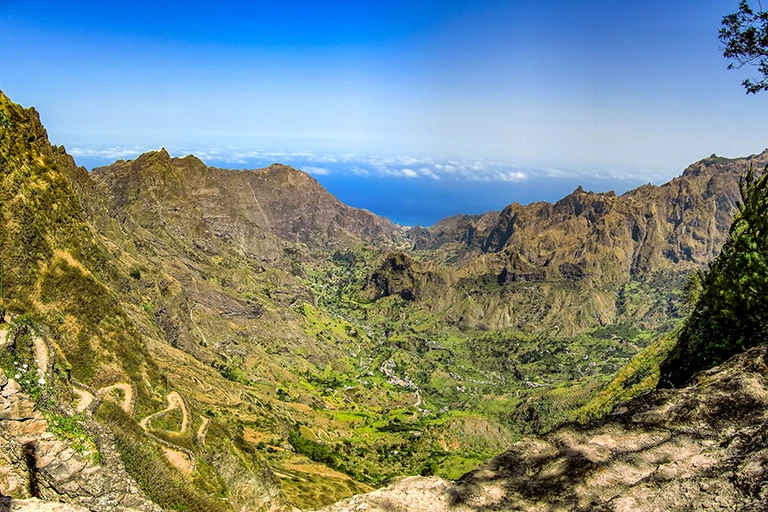
Santo Antão is the northernmost and second-largest island of Cape Verde, with its 779 km². While in the north of the “Ilha das Montanhas”, the island of mountains, spectacular, rugged mountain landscapes alternate with tropical green valleys and fascinating cliffs. However, the barren and desert-like south with its partly deep gorges often reminds one of lunar landscapes.
The island Tip
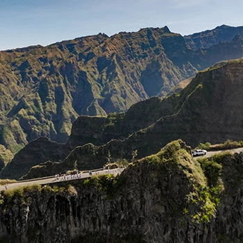
Cross the island via the historic, cobbled mountain road with breathtaking views to the south and north.
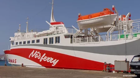
You can reach the island from São Vicente by ferry, which runs four times a day in both directions. Once you have completed the one-hour crossing, you reach Porto Novo in the south of Santo Antão. Due to the short runway located on a headland, the small island airport of Ponta do Sol has been closed for many years.
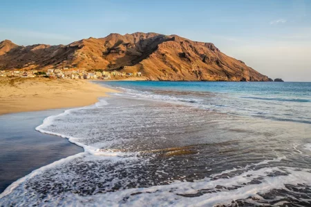
The island’s inhabitants live mainly in the small towns of Porto Novo, Ribeira Grande, Ponta do Sol and Cidade das Pombas. Still, the people of Santo Antão are primarily mountain people who live mainly from agriculture. For a few years, tourism has also been playing an increasingly important role.
The island Tip
Cross the island via the historic, cobbled mountain road with breathtaking views to the south and north.
The Green North
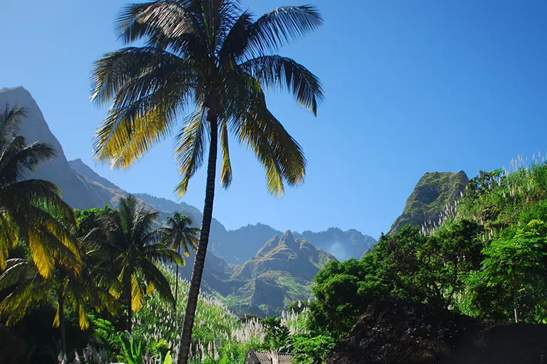
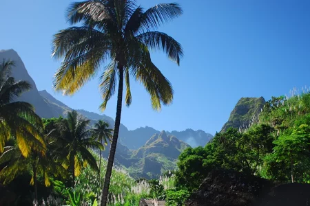
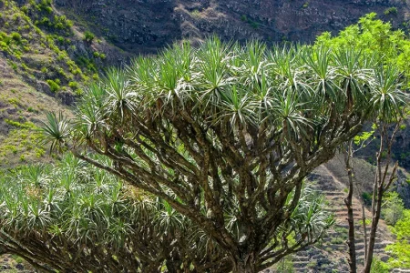
It is possible to go on beautiful, varied hikes, especially in the north of Santo Antão. People often walk along old, narrow paths that were laid out a long time ago. Throughout, you can marvel at the small, laboriously laid out terraced fields where sweet potatoes, cassava, maize, manioc, beans and other vegetables are cultivated. Considering the rugged mountainous terrain, this is the only way to farm. There is no large-scale cultivation. You will pass sugar cane fields particularly often. They grow sugar cane mainly for the production of the national drink grogue, a liquor. Tropical fruits also thrive on Santo Antão. There are mango and papaya trees as well as orange and lemon trees.
The Island Tip
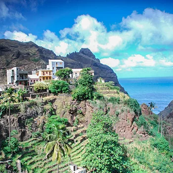
The mountain village of Fontainhas– The small mountain village with its colourful painted houses is in a spectacular location and has become a popular destination for excursions.
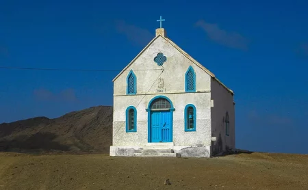
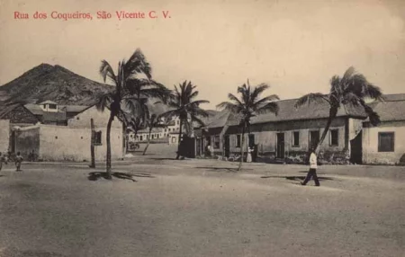
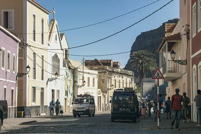
In Ribeira Grande, at that time the lively capital of Santo Antão, the settlement of the island began. Besides a church and the main square, the small, winding town offers small alleys and steep stairs. You can reach two of the most beautiful valleys on the island from here = the valley of the same name, Ribeira Grande, and the valley of Ribeira da Torre.
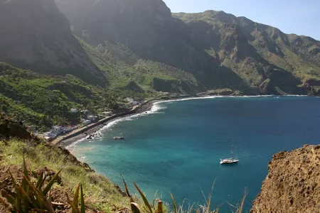
Von Starting from Ribeira Grande, you can reach Ponta do Sol, Santo Antão’s most popular tourist resort and located in the extreme north of the island, in 4 km. Along the seafront, the connecting road runs along a cliff face, which is spectacular. Ponta do Sol impresses with its beautiful main square with town hall and church and the many colourful fishing boats moored in the small natural harbour. There are some nice hotels and guesthouses offering accommodation, and the town is also well-equipped with restaurants and bars.
The Island Tip
The mountain village of Fontainhas– The small mountain village with its colourful painted houses is in a spectacular location and has become a popular destination for excursions.
Pául Valley / Cidade das Pombas
Accommodation -Tip
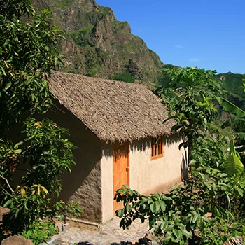
Aldeia Manga Eco Lodge – thatched bungalows, a large garden with a natural swimming pond – situated in the middle of the green Paúl Valley. An ideal place for hikers!
The Paúl district is located 10 km east of Ribeira Grande. The main village, Cidade das Pombas, is situated on a sheltered bay in the north-east of Santo Antão. Pastel-coloured houses line the shore promenade, and behind them are sugar cane fields and coconut palms – one is reminded of Cuba. The small church and the blue town hall also make Cidade das Pombas a dreamy place.
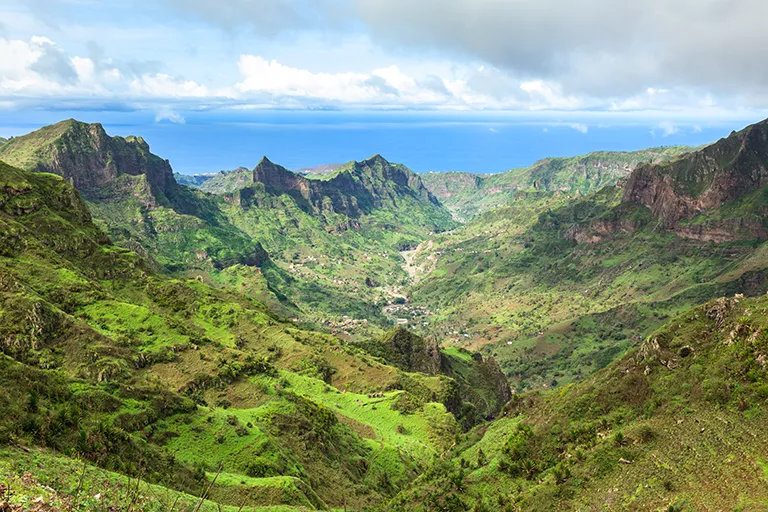
From Cidade das Pombas, the Ribeira do Paúl stretches up to the Cova Crater. As one of the greenest and most beautiful valleys in Cape Verde, the Paúl Valley is not to be missed on a visit to the island. Its lush vegetation, spectacular field walls and mountain peaks, and agriculture made possible by an ingenious irrigation system…
Accommodation -Tip
Aldeia Manga Eco Lodge – thatched bungalows, a large garden with a natural swimming pond – situated in the middle of the green Paúl Valley. An ideal place for hikers!
The Southwest of Santo Antão
Porto Novo is the third district on Santo Antão, with the district capital of the same name, which with around 10,000 inhabitants is the largest town on the island. All visitors “see” Porto Novo because, as mentioned above, it is the island’s harbour, which provides the connection to the neighbouring island of São Vicente. Most of the visitors to Santo Antão quickly leave Porto Novo in a northerly direction.
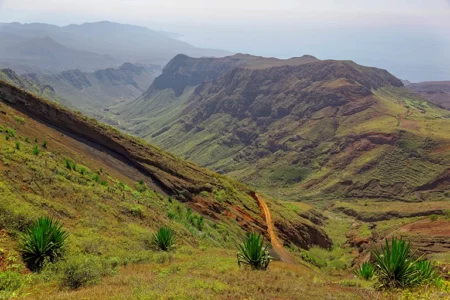
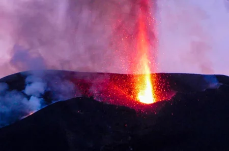
The south and west of Santo Antão are usually neglected – both in travel guides and by guests to the island. However, this is a pity, because this part also has a lot to offer – volcanic landscapes, deep gorges, remote deserts. It can be reached from Porto Novo.
Tarrafal, the oasis in the southwest
Accommodation Tip
Mar Tranquilidade – thatched guesthouses directly on the beach of Tarrafal de Monte Trigo, situated on the island of Santo Antão.
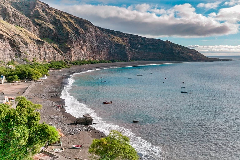
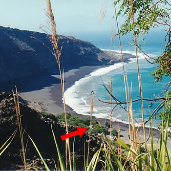
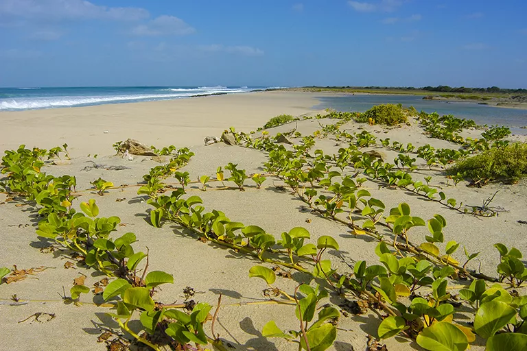
Tarrafal, which is made green by a nearby spring, is sheltered from the wind by high rocky cliffs in a picturesque bay on the island’s most beautiful beach. An oasis with a large black lava beach, it is increasingly becoming Santo Antão’s main tourist resort.
Tarrafal can be reached by car from Porto Novo. Not long ago, this was an adventurous and time-consuming undertaking because of the simple road, but after years of construction work, there is now a well-built road since the summer of 2021, which considerably reduces the driving time.
Accommodation Tip
Mar Tranquilidade – thatched guesthouses directly on the beach of Tarrafal de Monte Trigo, situated on the island of Santo Antão.
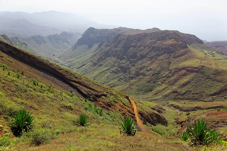
To begin with, a large asphalt road heads west, which then quickly becomes a cobblestone road. At a fork, the road turns left to Tarrafal and right to the green Lagedos and Ribeira das Patas, a valley whose walls drop up to 800m – the “Grand Canyon of Cape Verde”. Fascinating hikes are possible, e.g. over the Bordeira do Norte and from Chã de Morte to Alto Mira, a valley worth seeing, where more vegetables are produced than in most valleys in the north.
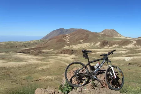
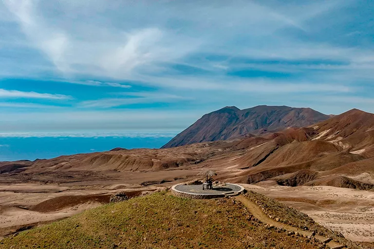
Norte is a desert-like, remote area that includes Tope de Coroa, the highest mountain on the island at 1,979m. An ascent is possible, as is a fascinating hike “at the end of the world” to Monte Trigo, a small village on the Atlantic Ocean, which is only accessible on foot or by fishing boat. From there, you can also continue on foot to Tarrafal.
Other Islands of Cape Verde
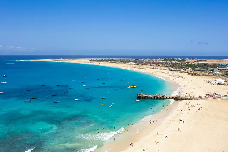
Sal
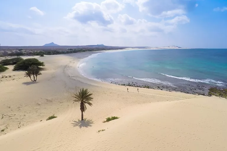
Boa Vista
Santiago

São Vicente
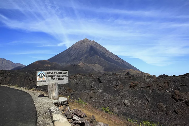
Fogo
São Nicolau
Maio